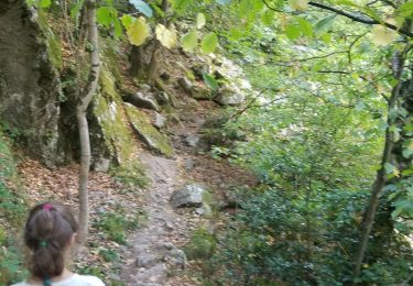
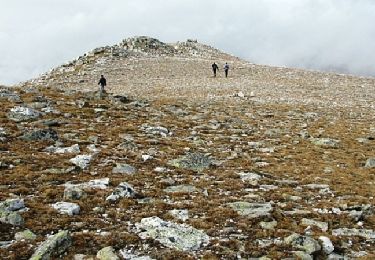
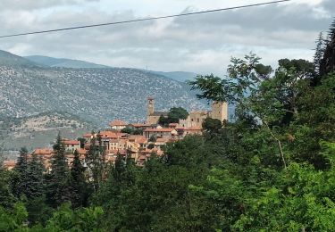
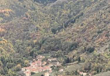
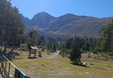
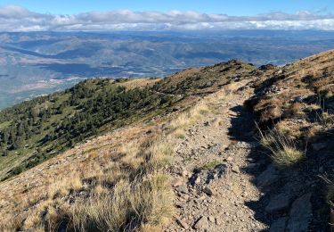
Trail Walking Py - Py-Cantapoc(circuit) - Photo

Py-Cantapoc(circuit)

 Machaon6
Machaon6

User

© OpenStreetMap contributors
Length
Length
6.7 km
Max alt
Max alt
1309 m
Uphill gradient
Uphill gradient
405 m
Km-Effort
Km-Effort  
12.1 km
Min alt
Min alt
984 m
Downhill gradient
Downhill gradient
403 m
Boucle
Boucle
Yes
Creation date :
2018-01-11 00:00:00.0
Updated on :
2018-01-11 00:00:00.0

(1 Reviews)

Walking
Walking
2h45
Difficulty : Difficult

Scan this QR Code to open this trail in the SityTrail application

FREE GPS app for hiking

Logo SityTrail SityTrail

IGN / Geographical institutes

Download SityTrail from the App Store Download SityTrail from Google Play

Logo SityTrail SityTrail World

The world is yours!

Download SityTrail from the App Store Download SityTrail from Google Play Download SityTrail on Huawei AppGallery

About

Trail Walking of 6.7 km to be discovered at Occitania, Pyrénées-Orientales, Py. This trail is proposed by Machaon6.

Description

Le passage de la rivière de la Rotja se fait par un tronc d'arbre.....FAIRE ATTENTION!

Elevation profile

Points of interest

Point of interest Py - Pont - Photo
Machaon6
PY 

Positioning

Country:
France
Region :
Occitania
Department/Province :
Pyrénées-Orientales
Municipality :
Py
Location:
Unknown
Start:(UTM)
446555 ; 4704947 (31T) N.

Comments

Please log in to post a review or rate the element


Trails nearby

Trail Walking Casteil - rando casteil du cady - Photo
Walking
attelageplaisir

Walking

Very easy
(1)
Casteil, Occitania, Pyrénées-Orientales, France
5.3 km | 8.7 km-effort
3h 16min
No
Trail Walking Py - Roc Colom - Photo
Walking
tracegps

Walking

Difficult
(1)
Py, Occitania, Pyrénées-Orientales, France
19.4 km | 34 km-effort
4h 30min
No
Trail Snowshoes Mantet - Cime de Pomarole - Photo
Snowshoes
Pek56

Snowshoes

Medium
(1)
Mantet, Occitania, Pyrénées-Orientales, France
8.6 km | 16.2 km-effort
3h 21min
Yes
Trail Walking Sahorre - Mattes rouges - Photo
Walking
Machaon6

Walking

Medium
(1)
Sahorre, Occitania, Pyrénées-Orientales, France
11.5 km | 21 km-effort
4h 32min
Yes
Trail Walking Casteil - Vernet les Bains - Photo
Walking
Christiancordin

Walking

Medium
Casteil, Occitania, Pyrénées-Orientales, France
7.6 km | 12 km-effort
1h 46min
No
Trail Walking Sahorre - Thorrent - Py et le Rec de Thorrent - Photo
Walking
Jean-marie Compta

Walking

Medium
Sahorre, Occitania, Pyrénées-Orientales, France
18.5 km | 30 km-effort
5h 33min
Yes
Trail Walking Sahorre - 20221103 col de Jou-Mariailles-ancien four chaux - Photo
Walking
ThonyM

Walking

Difficult
Sahorre, Occitania, Pyrénées-Orientales, France
11.8 km | 21 km-effort
3h 14min
Yes
Trail Walking Casteil - Jour 2 Pic du Canigou  - Photo
Walking
jacques delaporte

Walking

Very difficult
Casteil, Occitania, Pyrénées-Orientales, France
11.3 km | 24 km-effort
6h 36min
No
Trail Walking Casteil - 2022 TRANSPYRÉNÉENNE : refuge des Marieles - Le Canihou- refuge des Cortalets - Photo
Walking
LEGUE

Walking

Very difficult
Casteil, Occitania, Pyrénées-Orientales, France
15 km | 28 km-effort
4h 15min
No


Close
My subscriptions