


30 km | 40 km-effort


Tous les sentiers balisés d’Europe GUIDE+


FREE GPS app for hiking
 SityTrail
IGN / Geographical institutes
SityTrail World
The world is yours!
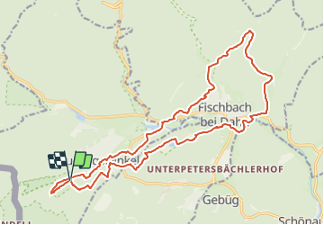
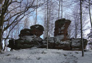
Trail On foot of 20 km to be discovered at Rhineland-Palatinate, Südwestpfalz, Ludwigswinkel. This trail is proposed by SityTrail - itinéraires balisés pédestres.
Trail created by Tourist Information Dahner Felsenland.
Symbol: lila stilisierter Fisch unterhalb zweier Berge auf orangem Grund mit verschnörkelter lila Unterschrift "Wasgau SeenTour"


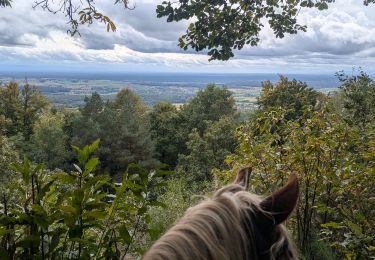
Horseback riding
Horseback riding

Horseback riding
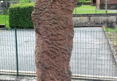
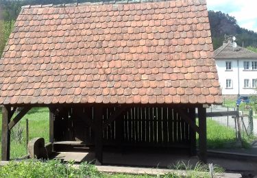
On foot
On foot
On foot
On foot

On foot

On foot