


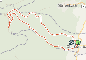

6.5 km | 9.6 km-effort


Tous les sentiers balisés d’Europe GUIDE+


FREE GPS app for hiking
 SityTrail
IGN / Geographical institutes
SityTrail World
The world is yours!
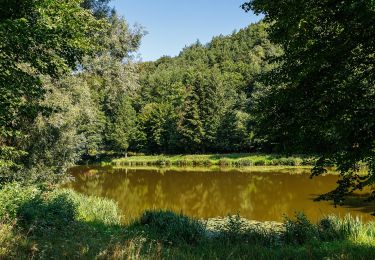
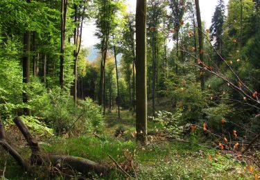
Trail On foot of 11.4 km to be discovered at Rhineland-Palatinate, Landkreis Südliche Weinstraße, Oberotterbach. This trail is proposed by SityTrail - itinéraires balisés pédestres.
Symbol: violettes Buch auf weißem Grund


On foot
On foot
On foot

On foot

On foot
On foot
On foot
On foot

On foot