


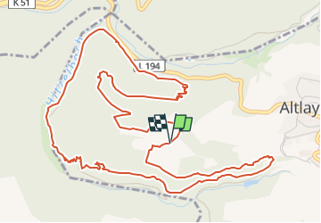

9.3 km | 12.9 km-effort

Tous les sentiers balisés d’Europe GUIDE+


FREE GPS app for hiking
 SityTrail
IGN / Geographical institutes
SityTrail World
The world is yours!
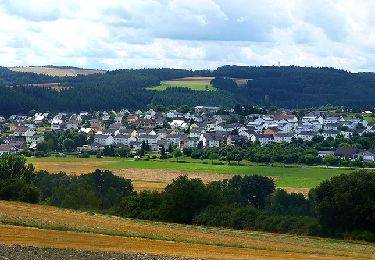
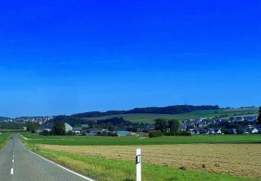
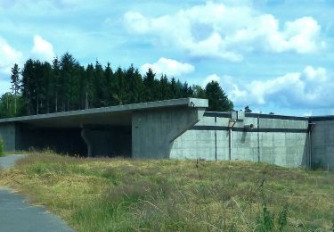
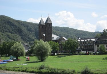
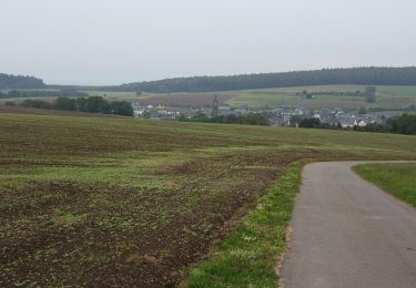
Trail On foot of 7.2 km to be discovered at Rhineland-Palatinate, Landkreis Cochem-Zell, Altlay. This trail is proposed by SityTrail - itinéraires balisés pédestres.
Symbol: stilisiertes S und H auf lila Grund


Walking
Walking
On foot
On foot
On foot
On foot
On foot
On foot
On foot