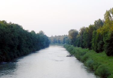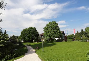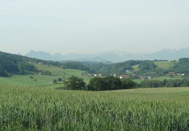

Wanderweg 11 - Bad Endorf
SityTrail - itinéraires balisés pédestres
Tous les sentiers balisés d’Europe GUIDE+

Length
9.4 km

Max alt
610 m

Uphill gradient
193 m

Km-Effort
11.9 km

Min alt
527 m

Downhill gradient
193 m
Boucle
Yes
Signpost
Creation date :
2022-02-11 17:09:27.288
Updated on :
2022-02-11 17:09:27.288
2h42
Difficulty : Easy

FREE GPS app for hiking
About
Trail On foot of 9.4 km to be discovered at Bavaria, Landkreis Rosenheim, Bad Endorf. This trail is proposed by SityTrail - itinéraires balisés pédestres.
Description
Trail created by Bad Endorf.
Symbol: Grüne Wegweisschilder mit weißer Schrift
Positioning
Country:
Germany
Region :
Bavaria
Department/Province :
Landkreis Rosenheim
Municipality :
Bad Endorf
Location:
Unknown
Start:(Dec)
Start:(UTM)
298227 ; 5308941 (33T) N.
Comments
Trails nearby

Chiemsee Rundweg


On foot
Very difficult
Rimsting,
Bavaria,
Landkreis Rosenheim,
Germany

58 km | 66 km-effort
14h 57min
Yes

Wanderweg 5 - Bad Endorf


On foot
Easy
Bad Endorf,
Bavaria,
Landkreis Rosenheim,
Germany

3.8 km | 4.7 km-effort
1h 4min
No

Panoramaweg - Bad Endorf


On foot
Easy
Bad Endorf,
Bavaria,
Landkreis Rosenheim,
Germany

7 km | 8.7 km-effort
1h 58min
Yes

Wanderweg 9 - Bad Endorf


On foot
Easy
Bad Endorf,
Bavaria,
Landkreis Rosenheim,
Germany

7.9 km | 9.4 km-effort
2h 8min
Yes

Wanderweg 8 - Bad Endorf


On foot
Easy
Bad Endorf,
Bavaria,
Landkreis Rosenheim,
Germany

7.2 km | 8.7 km-effort
1h 59min
Yes

Wanderweg 7 - Bad Endorf - Stockhamer Rundweg


On foot
Easy
Bad Endorf,
Bavaria,
Landkreis Rosenheim,
Germany

6 km | 7.2 km-effort
1h 38min
Yes

Wanderweg 4 - Bad Endorf


On foot
Easy
Bad Endorf,
Bavaria,
Landkreis Rosenheim,
Germany

6.1 km | 7.7 km-effort
1h 44min
Yes

Wanderweg 3 - Bad Endorf


On foot
Easy
Bad Endorf,
Bavaria,
Landkreis Rosenheim,
Germany

4.5 km | 5.7 km-effort
1h 17min
Yes

Wanderweg 16 - Bad Endorf


On foot
Easy
Bad Endorf,
Bavaria,
Landkreis Rosenheim,
Germany

5.3 km | 6.5 km-effort
1h 28min
No


 SityTrail


