


27 km | 37 km-effort


Tous les sentiers balisés d’Europe GUIDE+


FREE GPS app for hiking
 SityTrail
IGN / Geographical institutes
SityTrail World
The world is yours!
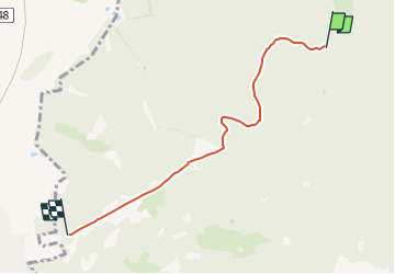
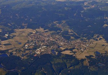
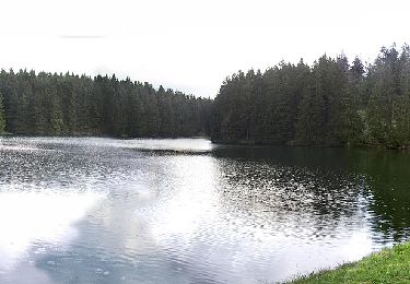
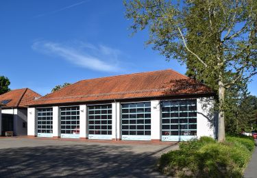
Trail On foot of 4.3 km to be discovered at Lower Saxony, Landkreis Goslar, Harz (LK Goslar). This trail is proposed by SityTrail - itinéraires balisés pédestres.
Symbol: roter Kreis mit Dreieck Nr. 1
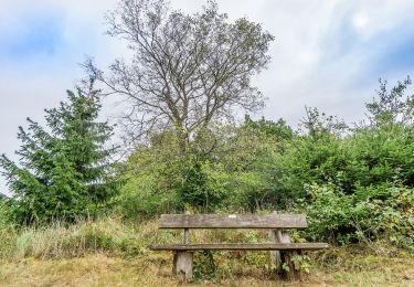
 - Rundwanderweg 1 - Photo 1")
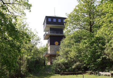
 - Rundwanderweg 1 - Photo 2")
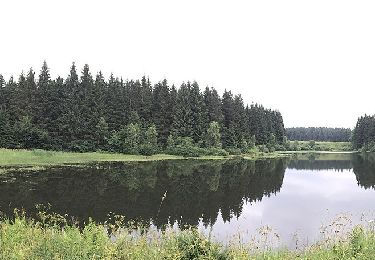
 - Rundwanderweg 1 - Photo 3")
 - Rundwanderweg 1 - Photo 4")
 - Rundwanderweg 1 - Photo 5")
 - Rundwanderweg 1 - Photo 6")
On foot

On foot
On foot
On foot

On foot
On foot
On foot
On foot
On foot