Trail On foot Sinntal - Altengronau - Rundweg am Grauberg - Tanne - Photo

Altengronau - Rundweg am Grauberg - Tanne

Tous les sentiers balisés d’Europe GUIDE+

© OpenStreetMap contributors
Length
Length
6.7 km
Max alt
Max alt
374 m
Uphill gradient
Uphill gradient
170 m
Km-Effort
Km-Effort  
9 km
Min alt
Min alt
215 m
Downhill gradient
Downhill gradient
173 m
Boucle
Boucle
No
Signpost
Signpost
Creation date :
2022-02-11 17:03:13.627
Updated on :
2022-02-11 17:03:13.627

(0 Reviews)

On foot
On foot
2h02
Difficulty : Easy

Scan this QR Code to open this trail in the SityTrail application

FREE GPS app for hiking

Logo SityTrail SityTrail

IGN / Geographical institutes

Download SityTrail from the App Store Download SityTrail from Google Play

Logo SityTrail SityTrail World

The world is yours!

Download SityTrail from the App Store Download SityTrail from Google Play Download SityTrail on Huawei AppGallery

About

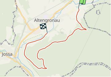
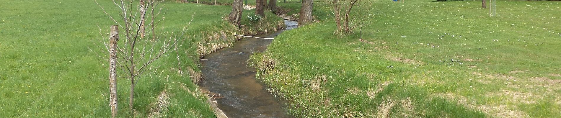
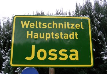
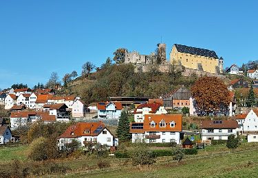
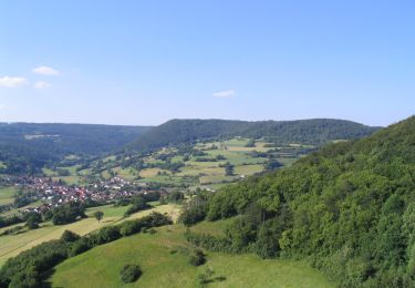
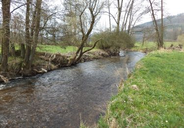
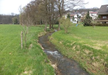
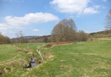
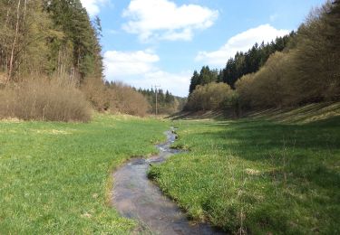
Trail On foot of 6.7 km to be discovered at Hesse, Main-Kinzig-Kreis, Sinntal. This trail is proposed by SityTrail - itinéraires balisés pédestres.

Description

Trail created by Verkehrs- u. Heimatverein Altengronau.

sehr schlecht ausgeschildert

Symbol: Grüne Tanne auf weißem Hintergrund


Website: http://www.altengronau.de/wanderwege-1.html

Elevation profile

Photos

Positioning

Country:
Germany
Region :
Hesse
Department/Province :
Main-Kinzig-Kreis
Municipality :
Sinntal
Location:
Unknown
Start:(UTM)
545208 ; 5567139 (32U) N.

Trails nearby

Trail On foot Sinntal - Spessartspuren - Jossa-Sinn-Blick - Photo
On foot
GUIDE+

On foot

Easy
Sinntal, Hesse, Main-Kinzig-Kreis, Germany
5.4 km | 7.6 km-effort
1h 44min
Yes
Trail On foot Sinntal - Spessartspuren - Schwarzenfelser Sonnenseite - Photo
On foot
GUIDE+

On foot

Easy
Sinntal, Hesse, Main-Kinzig-Kreis, Germany
5.8 km | 7.3 km-effort
1h 39min
Yes
Trail On foot Sinntal - Schwarzenfels - Rundweg Hopfenberg - Photo
On foot
GUIDE+

On foot

Easy
Sinntal, Hesse, Main-Kinzig-Kreis, Germany
5 km | 6.7 km-effort
1h 31min
Yes
Trail On foot Sinntal - Altengronau - Rundweg am Grauberg - Marder - Photo
On foot
GUIDE+

On foot

Easy
Sinntal, Hesse, Main-Kinzig-Kreis, Germany
6.3 km | 8.5 km-effort
1h 56min
Yes
Trail On foot Sinntal - Gebietswanderweg Roter Doppelbalken Altengronau - Streitrain - Photo
On foot
GUIDE+

On foot

Easy
Sinntal, Hesse, Main-Kinzig-Kreis, Germany
7.9 km | 11.1 km-effort
2h 31min
No
Trail On foot Sinntal - Spessartbogen Zubringer Jossa - Willingsgrundweiher - Photo
On foot
GUIDE+

On foot

Easy
Sinntal, Hesse, Main-Kinzig-Kreis, Germany
8.6 km | 12.1 km-effort
2h 44min
No
Trail On foot Sinntal - Jossa - Rundwanderweg Geweih - Photo
On foot
GUIDE+

On foot

Easy
Sinntal, Hesse, Main-Kinzig-Kreis, Germany
10.6 km | 13.2 km-effort
3h 0min
Yes
Trail On foot Sinntal - Spessartbogen Zubringer Jossa - Marjoß - Photo
On foot
GUIDE+

On foot

Easy
Sinntal, Hesse, Main-Kinzig-Kreis, Germany
6 km | 7.1 km-effort
1h 36min
No
Trail On foot Forst Aura - Roter Schmetterling, Rundwanderweg Emmerichsthal - Photo
On foot
GUIDE+

On foot

Easy
Forst Aura, Bavaria, Landkreis Main-Spessart, Germany
6 km | 7.7 km-effort
1h 45min
Yes


Close
My subscriptions