


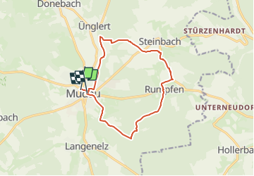

7.6 km | 10.4 km-effort

Tous les sentiers balisés d’Europe GUIDE+


FREE GPS app for hiking
 SityTrail
IGN / Geographical institutes
SityTrail World
The world is yours!
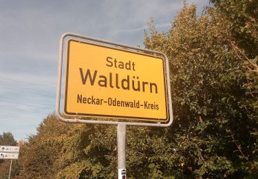
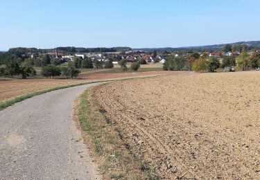
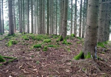
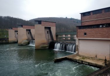
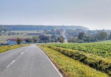
Trail On foot of 11.8 km to be discovered at Baden-Württemberg, Neckar-Odenwald-Kreis, Mudau. This trail is proposed by SityTrail - itinéraires balisés pédestres.
Trail created by Odenwaldklub.
Symbol: Weiße 4 in einem oben offenen Kreis, darüber weißes M


On foot
On foot

On foot
On foot
On foot

On foot
On foot
On foot
On foot