


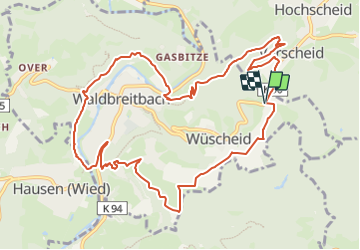

10.7 km | 13.9 km-effort

Tous les sentiers balisés d’Europe GUIDE+


FREE GPS app for hiking
 SityTrail
IGN / Geographical institutes
SityTrail World
The world is yours!
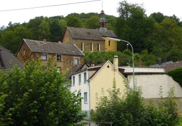
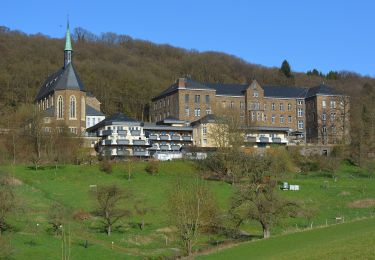
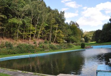
Trail On foot of 11.5 km to be discovered at Rhineland-Palatinate, Landkreis Neuwied, Waldbreitbach. This trail is proposed by SityTrail - itinéraires balisés pédestres.
Symbol: grünes geschwungenes W auf weißem Grund


On foot
On foot
On foot
On foot
On foot
![Trail On foot Neustadt (Wied) - [N1] Bertenauer Weg - Photo](https://media.geolcdn.com/t/375/260/23673f5b-8e9e-4aac-bd57-d7ced4e8cded.jpeg&format=jpg&maxdim=2)
On foot

On foot
On foot
On foot