


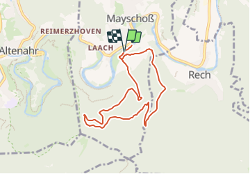

5.8 km | 9.8 km-effort

Tous les sentiers balisés d’Europe GUIDE+


FREE GPS app for hiking
 SityTrail
IGN / Geographical institutes
SityTrail World
The world is yours!
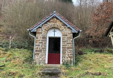
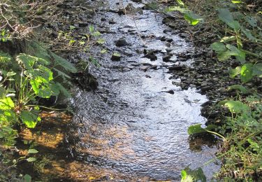
Trail On foot of 7.2 km to be discovered at Rhineland-Palatinate, Landkreis Ahrweiler, Mayschoß. This trail is proposed by SityTrail - itinéraires balisés pédestres.
Trail created by Verkehrs- und Verschönerungsverein Mayschoß e.V..
Symbol: Weiße 3 in schwarzem Vollkreis auf weißem Hintergrund


On foot
On foot
On foot
On foot
On foot
On foot
On foot
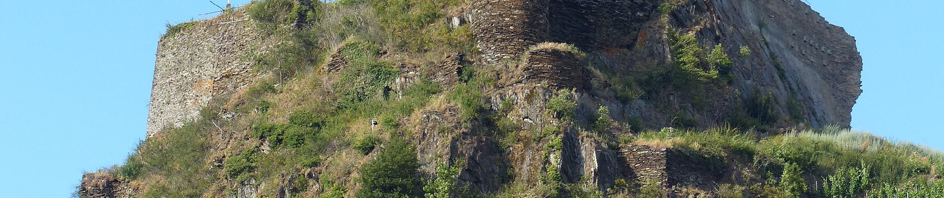
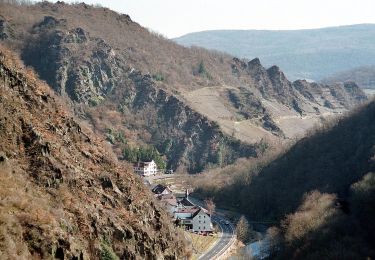
![Trail On foot Kesseling - [⑨] Rundweg Kesseling 9 - Photo](https://media.geolcdn.com/t/375/260/4dbbe2ae-b239-4136-9a63-e512e4629c8b.jpeg&format=jpg&maxdim=2)
On foot
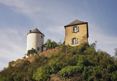
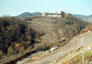
![Trail On foot Kesseling - [②] Rundweg Kesseling 2 - Photo](https://media.geolcdn.com/t/375/260/e28c37ed-289e-49ae-9f9a-74ed114331b4.jpeg&format=jpg&maxdim=2)
On foot