


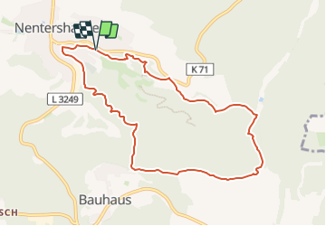

8.8 km | 12.3 km-effort

Tous les sentiers balisés d’Europe GUIDE+


FREE GPS app for hiking
 SityTrail
IGN / Geographical institutes
SityTrail World
The world is yours!
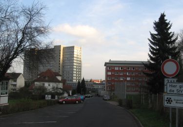
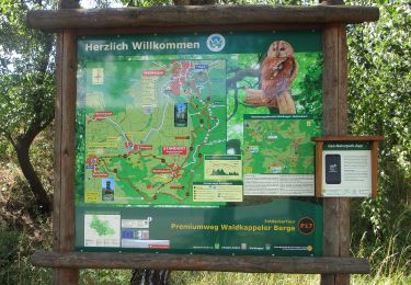
Trail On foot of 8.4 km to be discovered at Hesse, Landkreis Hersfeld-Rotenburg, Nentershausen. This trail is proposed by SityTrail - itinéraires balisés pédestres.
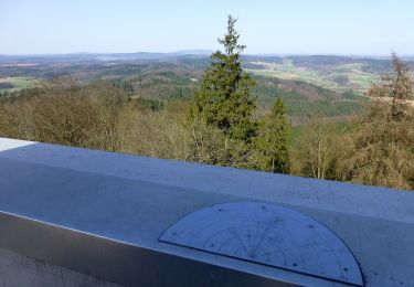
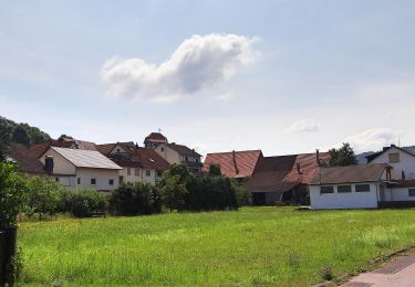
Trail created by Naturpark Meißner.
Symbol: gelber Text P18 in gelbem Kreis


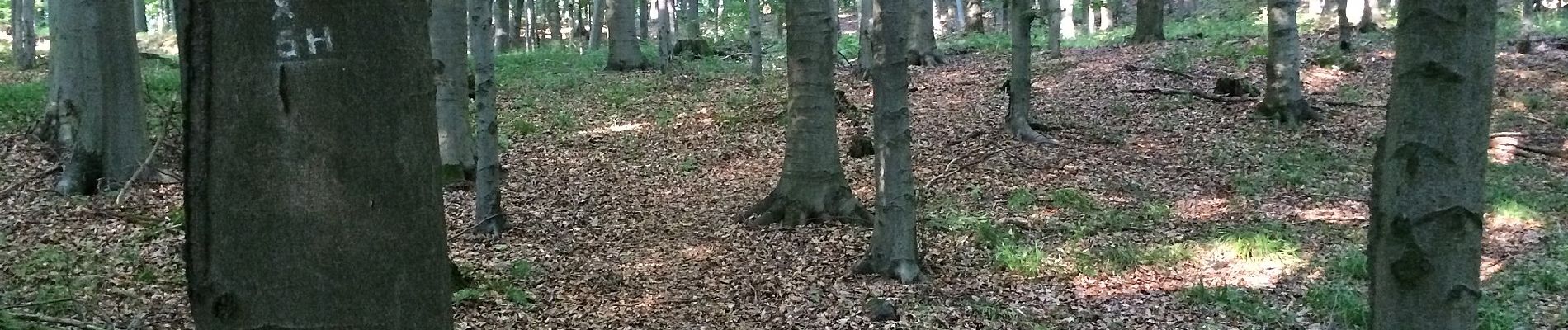
On foot
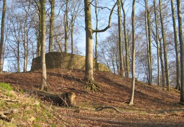
On foot
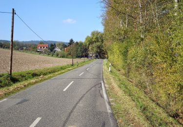
On foot
On foot
On foot

On foot
On foot
On foot
On foot