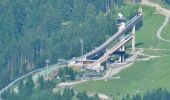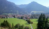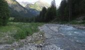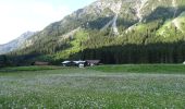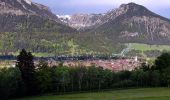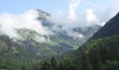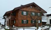

K - Über Kornau zum Bergkristall
SityTrail - itinéraires balisés pédestres
Tous les sentiers balisés d’Europe GUIDE+

Length
6.4 km

Max alt
1056 m

Uphill gradient
261 m

Km-Effort
9.8 km

Min alt
794 m

Downhill gradient
259 m
Boucle
No
Signpost
Creation date :
2022-02-11 16:40:40.842
Updated on :
2022-02-11 16:40:40.842
2h14
Difficulty : Easy

FREE GPS app for hiking
About
Trail On foot of 6.4 km to be discovered at Bavaria, Landkreis Oberallgäu, Oberstdorf. This trail is proposed by SityTrail - itinéraires balisés pédestres.
Description
Trail created by Tourismus Oberstdorf.
Positioning
Country:
Germany
Region :
Bavaria
Department/Province :
Landkreis Oberallgäu
Municipality :
Oberstdorf
Location:
Unknown
Start:(Dec)
Start:(UTM)
595358 ; 5251708 (32T) N.
Comments
Trails nearby
B - Winterwanderung ins Stillachtal


On foot
Easy
Oberstdorf,
Bavaria,
Landkreis Oberallgäu,
Germany

4.4 km | 6.2 km-effort
1h 24min
No
D - Gerstruben - ein Bergdorf im Winter


On foot
Easy
Oberstdorf,
Bavaria,
Landkreis Oberallgäu,
Germany

3.2 km | 3.9 km-effort
52min
No
G - Winterwanderung zur Gaisalpe


On foot
Easy
Oberstdorf,
Bavaria,
Landkreis Oberallgäu,
Germany

4.6 km | 6.2 km-effort
1h 24min
No
Ru - Im Winter zur Schöllanger Burgkirche


On foot
Easy
Oberstdorf,
Bavaria,
Landkreis Oberallgäu,
Germany

3.6 km | 4.4 km-effort
59min
No
Beslerrunde


On foot
Easy
Obermaiselstein,
Bavaria,
Landkreis Oberallgäu,
Germany

8.1 km | 15.6 km-effort
3h 32min
Yes
Breitachklamm


Walking
Medium
Oberstdorf,
Bavaria,
Landkreis Oberallgäu,
Germany

6.5 km | 11 km-effort
1h 29min
Yes

M - Über den Moorweiher ins Trettachtal


On foot
Easy
Oberstdorf,
Bavaria,
Landkreis Oberallgäu,
Germany

6.7 km | 8.4 km-effort
1h 54min
No

F - Winterwanderung zum Freibergsee


On foot
Easy
Oberstdorf,
Bavaria,
Landkreis Oberallgäu,
Germany

7.9 km | 11.9 km-effort
2h 42min
No

H - Vom Schönblick nach Hochleite


On foot
Easy
Oberstdorf,
Bavaria,
Landkreis Oberallgäu,
Germany

9.5 km | 17.2 km-effort
3h 54min
No


 SityTrail


