


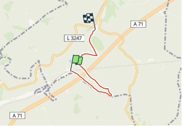

6 km | 8.1 km-effort


Tous les sentiers balisés d’Europe GUIDE+


FREE GPS app for hiking
 SityTrail
IGN / Geographical institutes
SityTrail World
The world is yours!
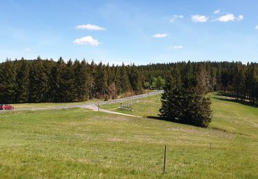
Trail On foot of 3.6 km to be discovered at Thuringia, Landkreis Schmalkalden-Meiningen, Oberhof. This trail is proposed by SityTrail - itinéraires balisés pédestres.
Bitte in Richtung Zella-Mehlis fortsetzen
Symbol: gelbes R


On foot

On foot
On foot

On foot

On foot
On foot
On foot

On foot