


30 km | 40 km-effort

Tous les sentiers balisés d’Europe GUIDE+


FREE GPS app for hiking
 SityTrail
IGN / Geographical institutes
SityTrail World
The world is yours!
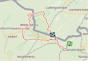
Trail On foot of 14.8 km to be discovered at Grand Est, Bas-Rhin, Obersteinbach. This trail is proposed by SityTrail - itinéraires balisés pédestres.
Trail created by Club vosgien Niederbronn Reichshoffen.
Formerly marked by a blue ring?
Symbol: weißer Hintergrund, gelber Kreis im Vordergrund
Website: https://ignrando.fr/fr/parcours/33803-3713et-niederbronn-2-anneau-jaune-circulaire-bremendell-welschkobert-lutzelhardt-rosselquelle-obersteinbach


Horseback riding

Horseback riding

Horseback riding
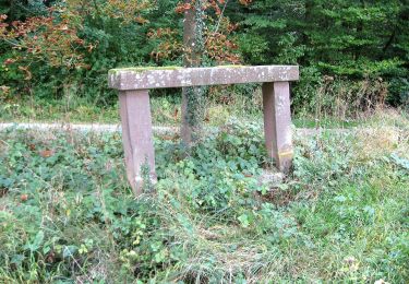
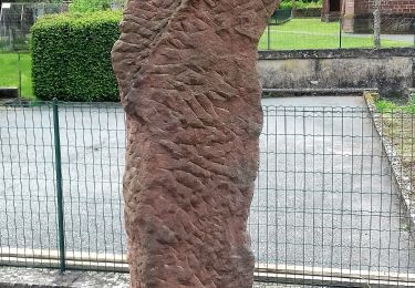
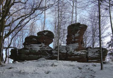
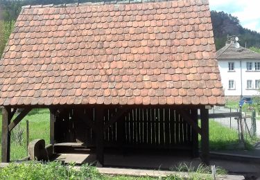
On foot
On foot

On foot
On foot
On foot