


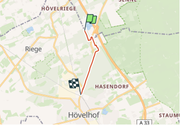

5.8 km | 6.4 km-effort


Tous les sentiers balisés d’Europe GUIDE+


FREE GPS app for hiking
 SityTrail
IGN / Geographical institutes
SityTrail World
The world is yours!
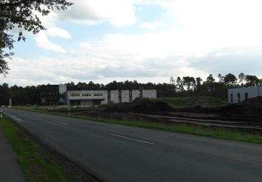
Trail On foot of 3.8 km to be discovered at North Rhine-Westphalia, Kreis Gütersloh, Schloß Holte-Stukenbrock. This trail is proposed by SityTrail - itinéraires balisés pédestres.
Trail created by Eggegebirgsverein.
Symbol: small coloured 3D locomotive


On foot
On foot
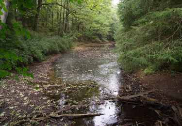
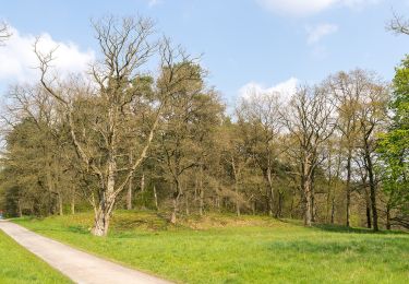
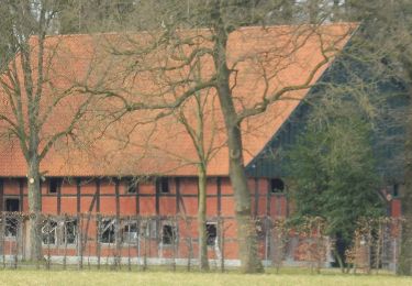
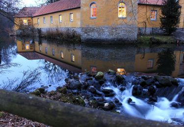
![Trail On foot Augustdorf - [O] Augustdorfer Rundwanderweg - Photo](https://media.geolcdn.com/t/375/260/e1b1dc0d-049f-4d9c-8a6e-95f6f150b969.jpeg&format=jpg&maxdim=2)
On foot
On foot
On foot
On foot
On foot
On foot
On foot