


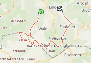

14.2 km | 18.3 km-effort

Tous les sentiers balisés d’Europe GUIDE+


FREE GPS app for hiking
 SityTrail
IGN / Geographical institutes
SityTrail World
The world is yours!
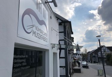
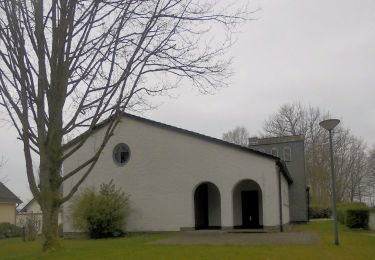
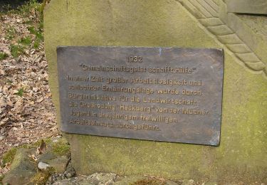
Trail On foot of 6.7 km to be discovered at North Rhine-Westphalia, Oberbergischer Kreis, Wiehl. This trail is proposed by SityTrail - itinéraires balisés pédestres.
Trail created by Das Bergische gGmbH.
Symbol: Weiße 17 auf rotem Rechteck


On foot

On foot

On foot
On foot
On foot
On foot
On foot
On foot
On foot