


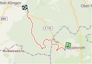

9.3 km | 12.3 km-effort


Tous les sentiers balisés d’Europe GUIDE+


FREE GPS app for hiking
 SityTrail
IGN / Geographical institutes
SityTrail World
The world is yours!
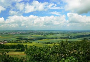
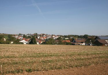
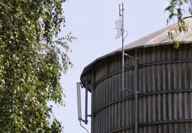
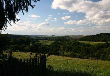
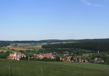
Trail On foot of 4.5 km to be discovered at Hesse, Odenwaldkreis, Höchst im Odenwald. This trail is proposed by SityTrail - itinéraires balisés pédestres.
Trail created by Geo-Naturpark Bergstraße-Odenwald.
Symbol: weiße 4 im oben offenen Kreis, darin ein 'Ha'

On foot
On foot
On foot
On foot
On foot
On foot
On foot
On foot
On foot