


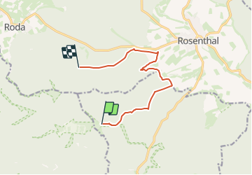

6.3 km | 8.6 km-effort

Tous les sentiers balisés d’Europe GUIDE+


FREE GPS app for hiking
 SityTrail
IGN / Geographical institutes
SityTrail World
The world is yours!
Trail On foot of 8.7 km to be discovered at Hesse, Landkreis Marburg-Biedenkopf, Rauschenberg. This trail is proposed by SityTrail - itinéraires balisés pédestres.
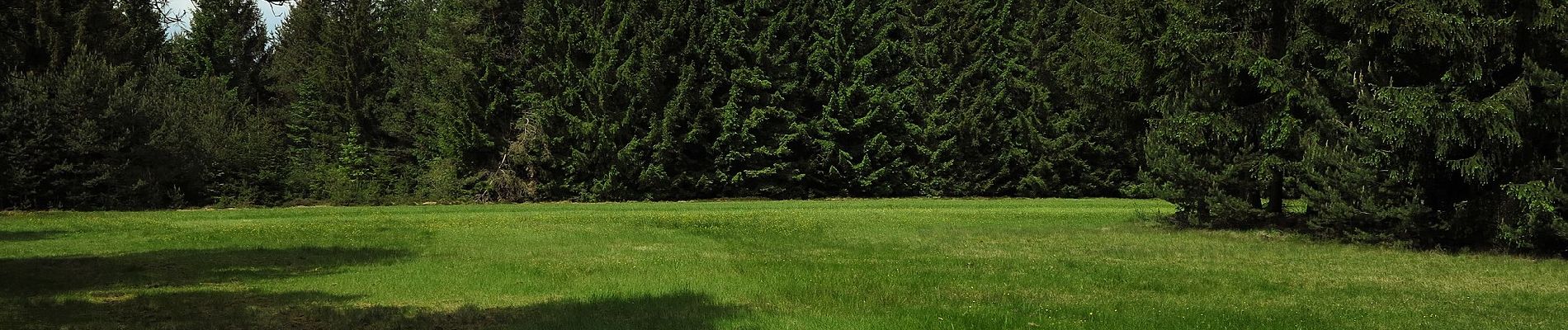
Tauch ein in eine märchenhafte Wanderwelt zwischen keltischen Wallanlagen, stillen Gewässern und schroffen Felsen.
Website: http://www.traumhaftes-wandermaerchen.de/index.php/franzosenwiesen


On foot
On foot

On foot

On foot