


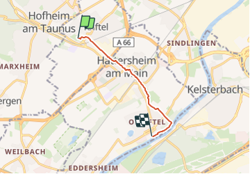

5.1 km | 7.4 km-effort


Tous les sentiers balisés d’Europe GUIDE+


FREE GPS app for hiking
 SityTrail
IGN / Geographical institutes
SityTrail World
The world is yours!
Trail On foot of 5.8 km to be discovered at Hesse, Main-Taunus-Kreis, Kriftel. This trail is proposed by SityTrail - itinéraires balisés pédestres.
Trail created by Arbeitsgemeinschaft Astronomie der Weingartenschule Kriftel.
Website: http://www.planetenweg.de/


On foot
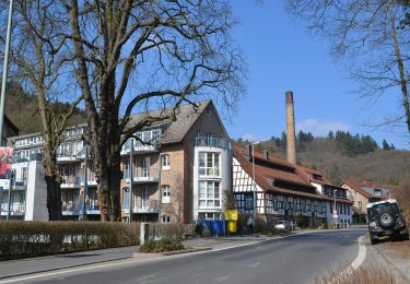
On foot

On foot
On foot
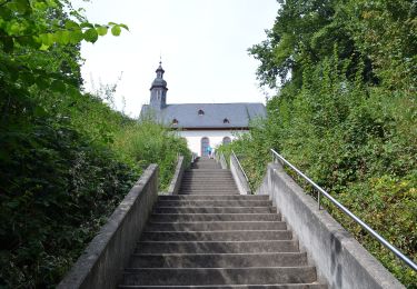
On foot