Trail On foot Schernfeld - Rundwanderweg Eichstätt Nr. 4 - Photo

Rundwanderweg Eichstätt Nr. 4

Tous les sentiers balisés d’Europe PRO

© OpenStreetMap contributors
Length
Length
11.2 km
Max alt
Max alt
583 m
Uphill gradient
Uphill gradient
177 m
Km-Effort
Km-Effort  
13.5 km
Min alt
Min alt
531 m
Downhill gradient
Downhill gradient
160 m
Boucle
Boucle
No
Signpost
Signpost
Creation date :
2022-02-11 15:54:54.963
Updated on :
2022-02-11 15:54:54.963

(0 Reviews)

On foot
On foot
3h03
Difficulty : Easy

Scan this QR Code to open this trail in the SityTrail application

FREE GPS app for hiking

Logo SityTrail SityTrail

IGN / Geographical institutes

Download SityTrail from the App Store Download SityTrail from Google Play

Logo SityTrail SityTrail World

The world is yours!

Download SityTrail from the App Store Download SityTrail from Google Play Download SityTrail on Huawei AppGallery

About

Trail On foot of 11.2 km to be discovered at Bavaria, Landkreis Eichstätt, Schernfeld. This trail is proposed by SityTrail - itinéraires balisés pédestres.

Description

Trail created by Tourist-Information Stadt Eichstätt.

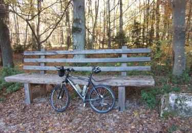
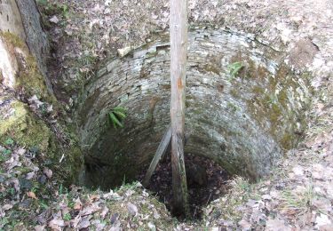
abgeschlossen (Mai 2014, by cycling_zno)

Symbol: grüne Ziffer 4 auf gelben Hintergrund mit Ammonit-Wasserzeichen


Website: http://www.eichstaett.info/wege/wanderung_zum_saupark-122/

Positioning

Country:
Germany
Region :
Bavaria
Department/Province :
Landkreis Eichstätt
Municipality :
Schernfeld
Location:
Unknown
Start:(UTM)
654972 ; 5423600 (32U) N.

Trails nearby

Trail On foot Pappenheim - Ortswanderweg Pappenheim - Photo
On foot
PRO

On foot

Easy
Pappenheim, Bavaria, Weißenburg-Gunzenhausen, Germany
6.7 km | 8.2 km-effort
1h 52min
No
Trail On foot Eichstätt - Rundwanderweg Eichstätt Nr. 2 - Photo
On foot
PRO

On foot

Easy
Eichstätt, Bavaria, Landkreis Eichstätt, Germany
8.1 km | 9.9 km-effort
2h 15min
No
Trail On foot Schernfeld - Walderlebnispfad Walderlebniszentrum Schernfeld - Photo
On foot
PRO

On foot

Easy
Schernfeld, Bavaria, Landkreis Eichstätt, Germany
4.1 km | 5.1 km-effort
1h 9min
Yes
Trail On foot Raitenbuch - Raitenbuch Erzweg - Photo
On foot
PRO

On foot

Easy
Raitenbuch, Bavaria, Weißenburg-Gunzenhausen, Germany
11.4 km | 13.8 km-effort
3h 8min
Yes
Trail On foot Raitenbuch - Raitenbuch Kuchentalweg - Photo
On foot
PRO

On foot

Easy
Raitenbuch, Bavaria, Weißenburg-Gunzenhausen, Germany
8.8 km | 10.9 km-effort
2h 29min
Yes


Close
My subscriptions