


12.1 km | 16.6 km-effort

Tous les sentiers balisés d’Europe GUIDE+


FREE GPS app for hiking
 SityTrail
IGN / Geographical institutes
SityTrail World
The world is yours!
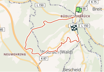
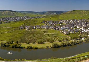
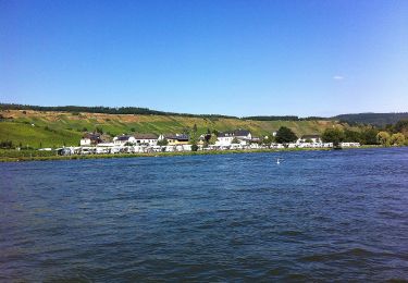
Trail On foot of 6.9 km to be discovered at Rhineland-Palatinate, Landkreis Trier-Saarburg, Naurath (Wald). This trail is proposed by SityTrail - itinéraires balisés pédestres.
Trail created by Naturpark Saar-Hunsrück.
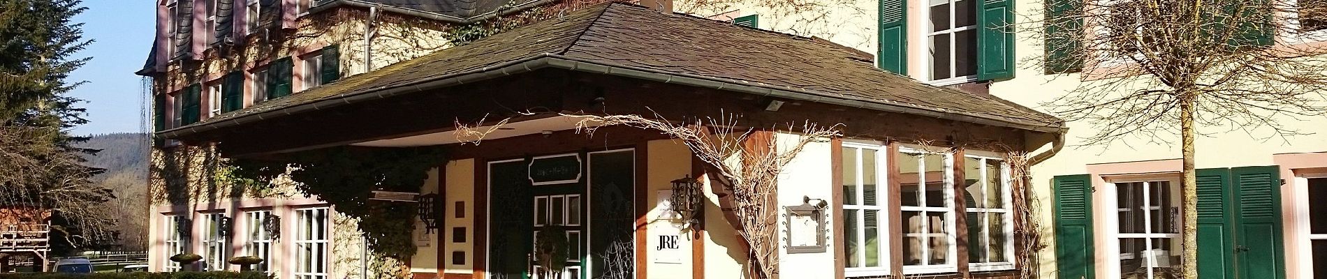
 - Naurath 1 - Photo 1")
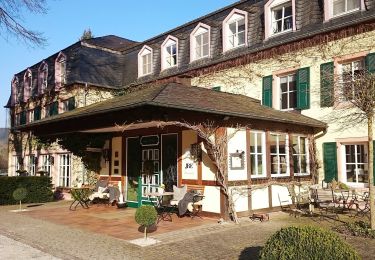
 - Naurath 1 - Photo 2")
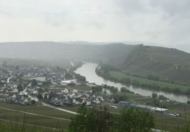
 - Naurath 1 - Photo 3")

On foot

On foot
On foot

Walking
Walking
On foot

On foot
On foot

Walking