


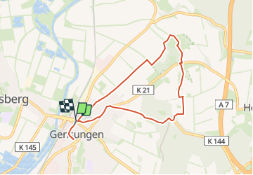

11.1 km | 15 km-effort

Tous les sentiers balisés d’Europe GUIDE+


FREE GPS app for hiking
 SityTrail
IGN / Geographical institutes
SityTrail World
The world is yours!
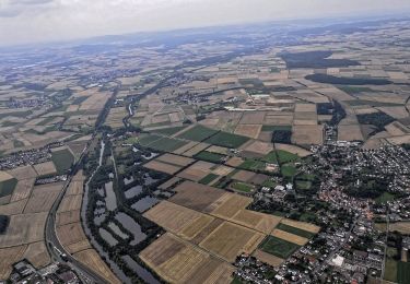
Trail On foot of 6.8 km to be discovered at Hesse, Schwalm-Eder-Kreis, Felsberg. This trail is proposed by SityTrail - itinéraires balisés pédestres.
Trail created by Arbeitsgemeinschaft für Vor- und Frühgeschichte Gensungen e.V..
Symbol: ⌘1


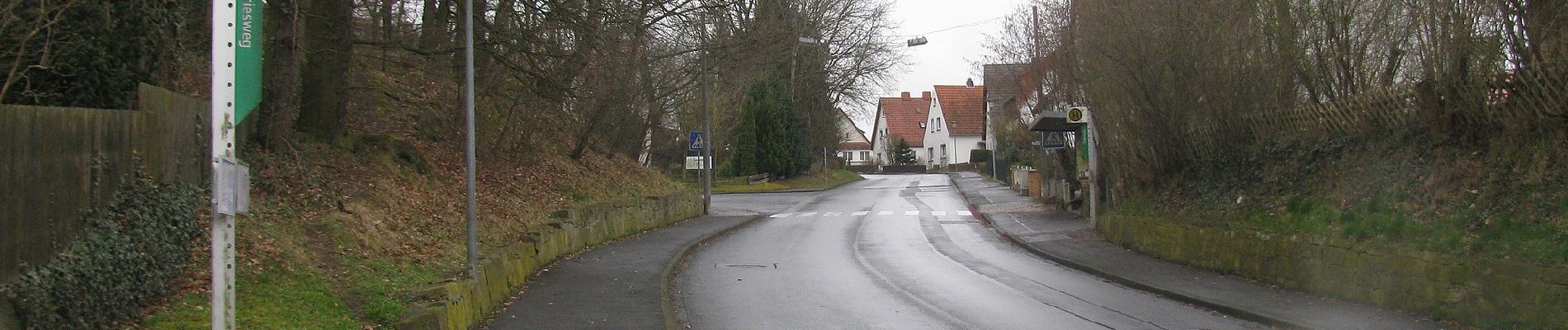
On foot
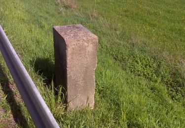
On foot
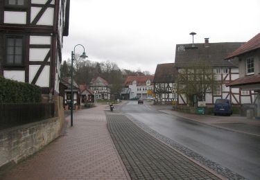
On foot

On foot
On foot