


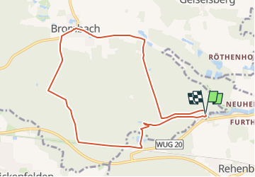

22 km | 31 km-effort

Tous les sentiers balisés d’Europe GUIDE+


FREE GPS app for hiking
 SityTrail
IGN / Geographical institutes
SityTrail World
The world is yours!
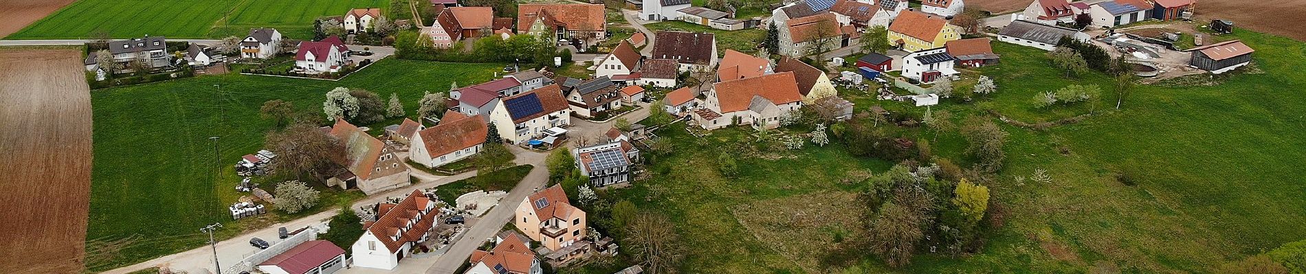
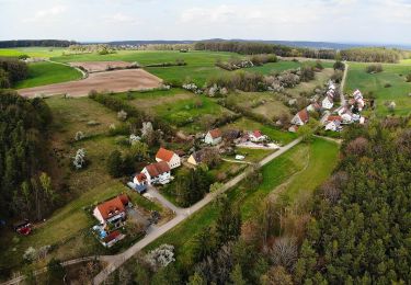
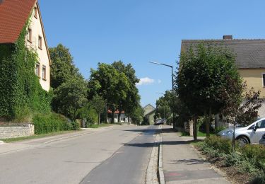
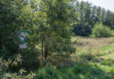
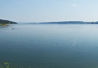
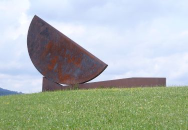
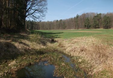
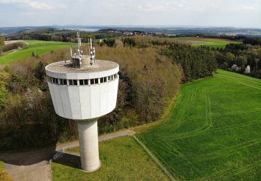
Trail On foot of 8.9 km to be discovered at Bavaria, Weißenburg-Gunzenhausen, Haundorf. This trail is proposed by SityTrail - itinéraires balisés pédestres.
Trail created by Fränkisches Seenland.
abgeschlossen (Februar 2014, by cycling_zno)
Symbol: Blaue Tafel mit weißer 113


On foot
On foot
On foot
On foot
On foot
On foot
On foot
On foot