


4.8 km | 6 km-effort

Tous les sentiers balisés d’Europe GUIDE+


FREE GPS app for hiking
 SityTrail
IGN / Geographical institutes
SityTrail World
The world is yours!
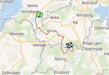
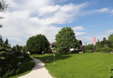
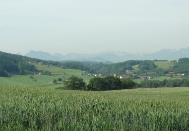
Trail On foot of 6.4 km to be discovered at Bavaria, Landkreis Rosenheim, Bad Endorf. This trail is proposed by SityTrail - itinéraires balisés pédestres.
Die Wanderung von Prien oder Rimsting aus führt Sie durch die sehr abwechslungsreiche Hügellandschaft mit alten Obstsorten und sehenswerten Kultu...
Website: https://www.chiemsee-alpenland.de/Media/Tourenfinder-fuer-Aktive/Obst-und-Kulturweg-Ratzinger-Hoehe
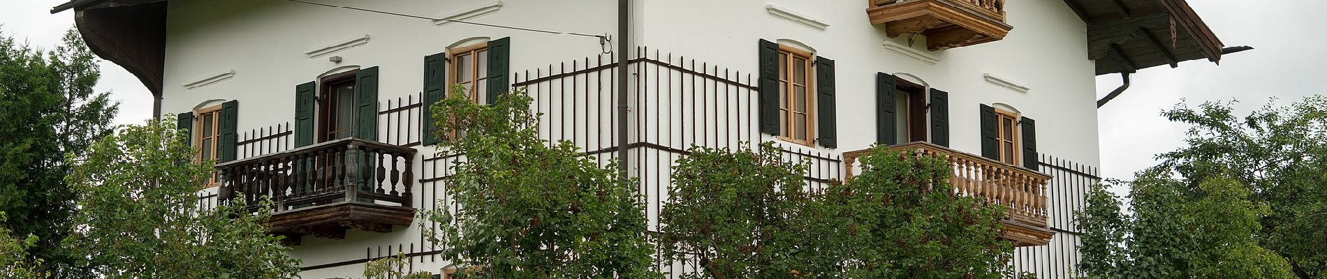
 - Photo 1")
 - Photo 2")
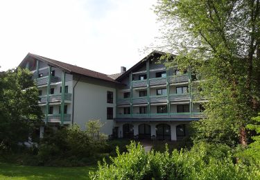
 - Photo 3")
 - Photo 4")
 - Photo 5")
 - Photo 6")
 - Photo 7")
 - Photo 8")
 - Photo 9")
 - Photo 10")
On foot
On foot

On foot
On foot
On foot
On foot

On foot
On foot
On foot