


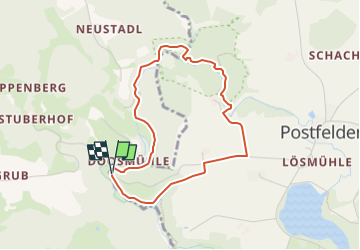

4.2 km | 5.8 km-effort

Tous les sentiers balisés d’Europe GUIDE+


FREE GPS app for hiking
 SityTrail
IGN / Geographical institutes
SityTrail World
The world is yours!
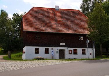
Trail On foot of 3.5 km to be discovered at Bavaria, Landkreis Cham, Rettenbach. This trail is proposed by SityTrail - itinéraires balisés pédestres.
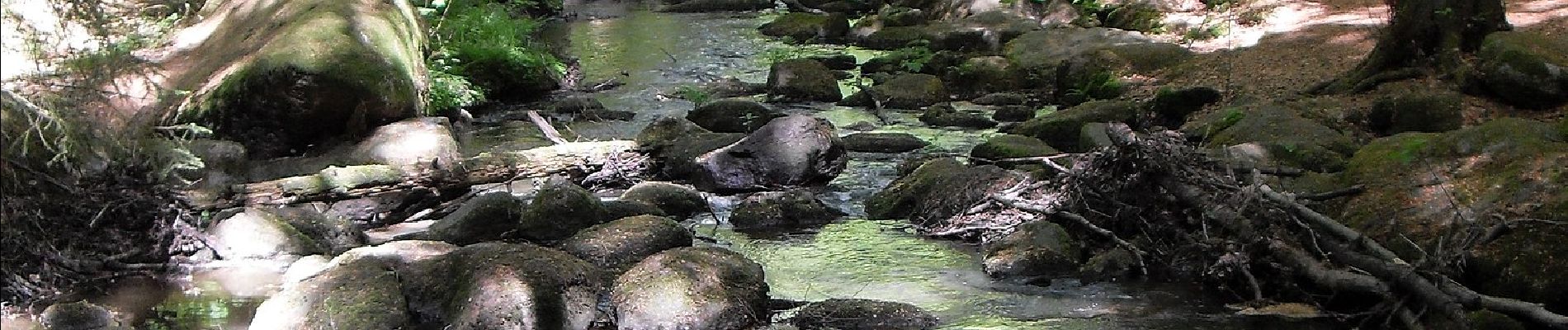
Symbol: Weißes, rechteckiges Schild mit rotem Rand, oben rote Aufschrift "Rundweg Hölle", unten roter Richtungspfeil (rechts oder links)

On foot
On foot
On foot
On foot
On foot
On foot
On foot

On foot
On foot