


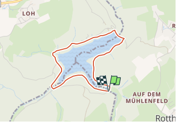

17.3 km | 23 km-effort

Tous les sentiers balisés d’Europe GUIDE+


FREE GPS app for hiking
 SityTrail
IGN / Geographical institutes
SityTrail World
The world is yours!
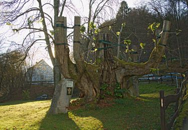
Trail On foot of 3.3 km to be discovered at North Rhine-Westphalia, Märkischer Kreis, Halver. This trail is proposed by SityTrail - itinéraires balisés pédestres.
Trail created by Sauerländischer Gebirgsverein.


On foot
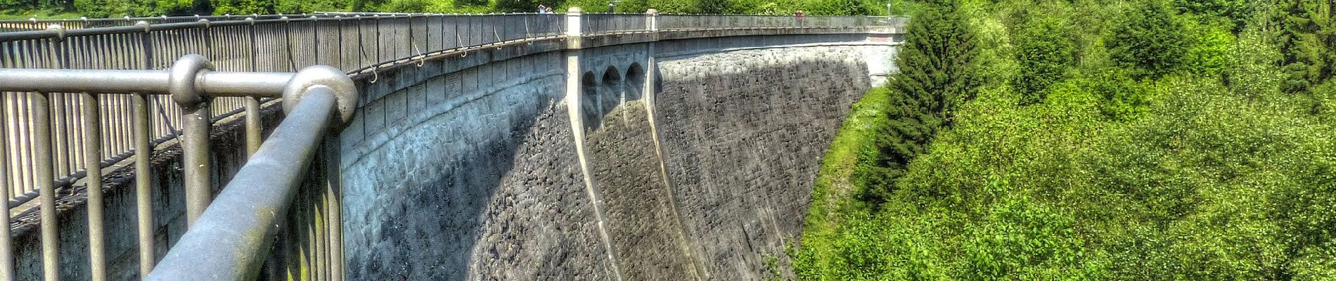
![Trail On foot Breckerfeld - [A10]Rundweg Breckerfeld (zur Glörtalsperre) - Photo](https://media.geolcdn.com/t/375/260/497900ac-296a-4d0b-bf58-8b261fe038d7.jpeg&format=jpg&maxdim=2)
On foot
On foot

On foot

On foot
On foot
On foot

On foot
On foot