


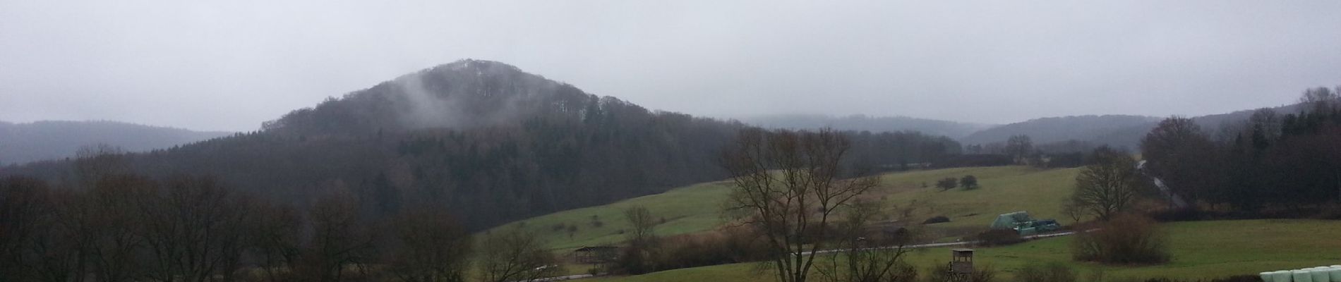
4.3 km | 5.9 km-effort

Tous les sentiers balisés d’Europe GUIDE+


FREE GPS app for hiking
 SityTrail
IGN / Geographical institutes
SityTrail World
The world is yours!
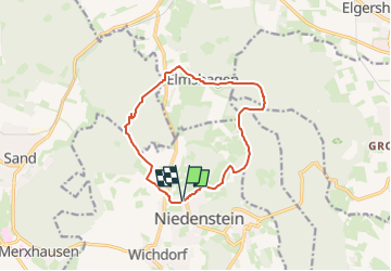
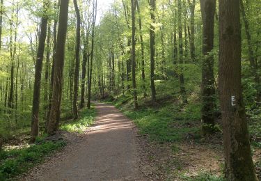
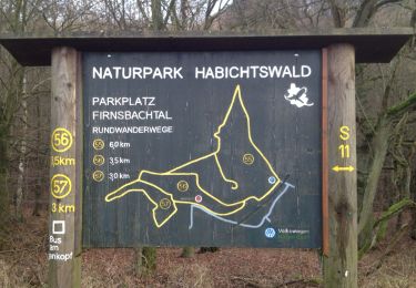
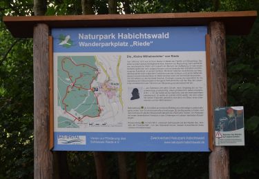
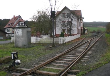
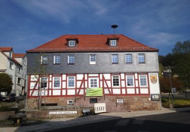
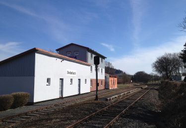
Trail On foot of 10.9 km to be discovered at Hesse, Schwalm-Eder-Kreis, Niedenstein. This trail is proposed by SityTrail - itinéraires balisés pédestres.
Website: https://www.niedenstein.de/freizeit-und-tourismus/aktiv/wandern/n5.pdf


On foot
On foot
On foot
On foot
On foot
On foot