


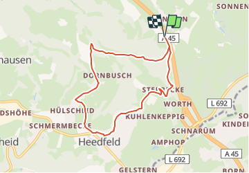

8.9 km | 11.8 km-effort
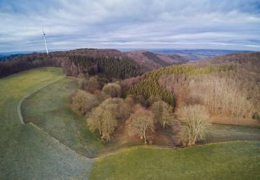
![Trail On foot Schalksmühle - [A4] Winkeln - Heedfeld - Photo](https://media.geolcdn.com/t/1900/400/4700bc0e-ad0c-45eb-9253-5067157c7030.jpeg&format=pjpeg&maxdim=2)

Tous les sentiers balisés d’Europe GUIDE+


FREE GPS app for hiking
 SityTrail
IGN / Geographical institutes
SityTrail World
The world is yours!
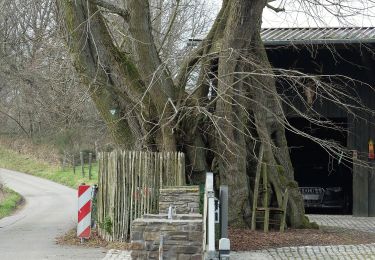
Trail On foot of 6.8 km to be discovered at North Rhine-Westphalia, Märkischer Kreis, Schalksmühle. This trail is proposed by SityTrail - itinéraires balisés pédestres.
Trail created by Sauerländischer Gebirgsverein.
![Trail On foot Schalksmühle - [A4] Winkeln - Heedfeld - Photo 1](https://media.geolcdn.com/t/2048/auto/4700bc0e-ad0c-45eb-9253-5067157c7030.jpeg&format=jpg&maxdim=0 "Trail On foot Schalksmühle - [A4] Winkeln - Heedfeld - Photo 1")
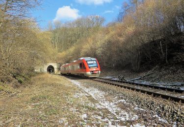
![Trail On foot Schalksmühle - [A4] Winkeln - Heedfeld - Photo 2](https://media.geolcdn.com/t/2048/auto/e81c17ab-0145-4361-bcf7-6e9c90420125.jpeg&format=jpg&maxdim=0 "Trail On foot Schalksmühle - [A4] Winkeln - Heedfeld - Photo 2")
On foot
![Trail On foot Altena - [A2] Um den Tiergarten - Photo](https://media.geolcdn.com/t/375/260/ac541118-8fb3-4eda-991b-ceab80b85a33.jpeg&format=jpg&maxdim=2)
On foot
On foot
On foot
On foot
On foot
On foot
On foot
On foot