


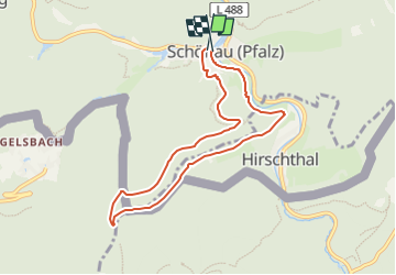

15.6 km | 25 km-effort


Tous les sentiers balisés d’Europe GUIDE+


FREE GPS app for hiking
 SityTrail
IGN / Geographical institutes
SityTrail World
The world is yours!
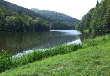
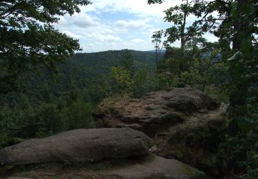
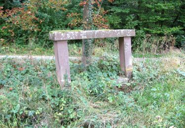
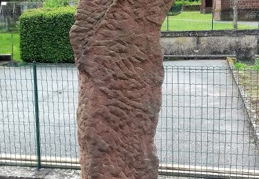
Trail On foot of 7.3 km to be discovered at Rhineland-Palatinate, Südwestpfalz, Schönau (Pfalz). This trail is proposed by SityTrail - itinéraires balisés pédestres.
Trail created by Pfälzerwald-Verein.
Symbol: gelber Punkt
 - Pfälzerwald Gelber Punkt #5 - Photo 1")
 - Pfälzerwald Gelber Punkt #5 - Photo 2")
 - Pfälzerwald Gelber Punkt #5 - Photo 3")
 - Pfälzerwald Gelber Punkt #5 - Photo 4")
 - Pfälzerwald Gelber Punkt #5 - Photo 5")
 - Pfälzerwald Gelber Punkt #5 - Photo 6")
 - Pfälzerwald Gelber Punkt #5 - Photo 7")
 - Pfälzerwald Gelber Punkt #5 - Photo 8")
 - Pfälzerwald Gelber Punkt #5 - Photo 9")
 - Pfälzerwald Gelber Punkt #5 - Photo 10")

Walking
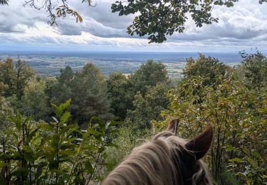
Horseback riding
Horseback riding

Horseback riding
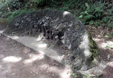
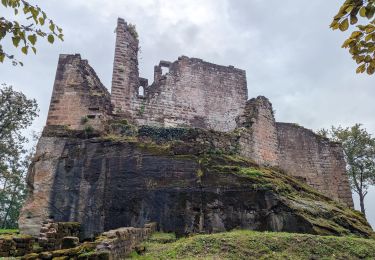
On foot