


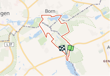

8.8 km | 9.6 km-effort

Tous les sentiers balisés d’Europe GUIDE+


FREE GPS app for hiking
 SityTrail
IGN / Geographical institutes
SityTrail World
The world is yours!
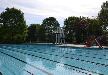
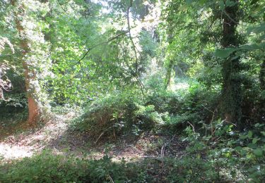
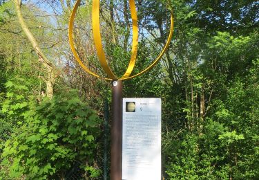
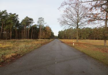
Trail On foot of 6.1 km to be discovered at North Rhine-Westphalia, Kreis Viersen, Niederkrüchten. This trail is proposed by SityTrail - itinéraires balisés pédestres.
Website: http://www.wa-wa-we.eu/de/touren/zwei-seen-runde/index.html


On foot
On foot

On foot
On foot
On foot
On foot

On foot
On foot
On foot