


8.1 km | 9.8 km-effort

Tous les sentiers balisés d’Europe GUIDE+


FREE GPS app for hiking
 SityTrail
IGN / Geographical institutes
SityTrail World
The world is yours!
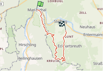
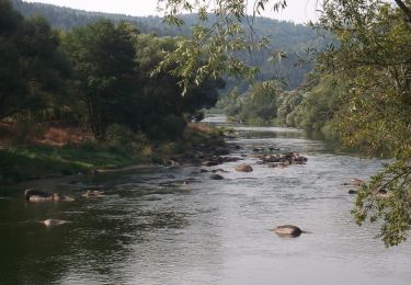
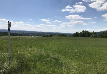
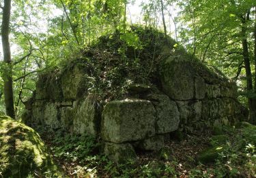
Trail On foot of 11.2 km to be discovered at Bavaria, Landkreis Regensburg, Regenstauf. This trail is proposed by SityTrail - itinéraires balisés pédestres.
Trail created by Verein Naturpark Vorderer Bayerischer Wald.
FIXME: Nicht alle Wegsegmente erfaßt.
Symbol: Auf einem rechteckigen weißen Grund in Schwarz links der Wilde Mann (Zeichnung), rechts die Wanderwegnummer, darüber der Text "WANDERWEG".


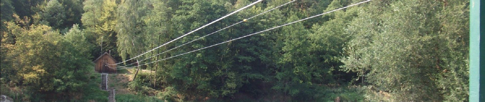
On foot
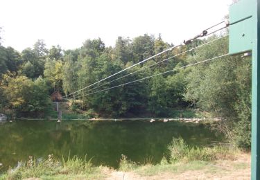
On foot
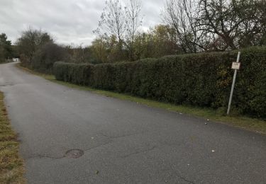
On foot
On foot

On foot
On foot
On foot
On foot
On foot