


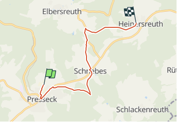

11 km | 15.1 km-effort

Tous les sentiers balisés d’Europe GUIDE+


FREE GPS app for hiking
 SityTrail
IGN / Geographical institutes
SityTrail World
The world is yours!
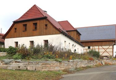
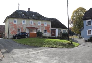
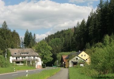
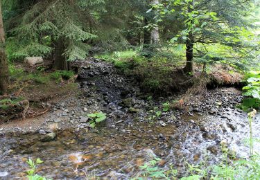
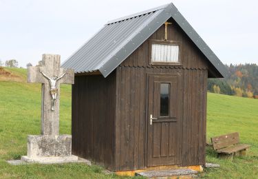
Trail On foot of 5 km to be discovered at Bavaria, Landkreis Kulmbach, Presseck. This trail is proposed by SityTrail - itinéraires balisés pédestres.
Trail created by Frankenwaldverein.
Symbol: blau 55 auf weiß


On foot

On foot
On foot
On foot
On foot
On foot
On foot
On foot
On foot