


4.5 km | 5.9 km-effort

Tous les sentiers balisés d’Europe GUIDE+


FREE GPS app for hiking
 SityTrail
IGN / Geographical institutes
SityTrail World
The world is yours!
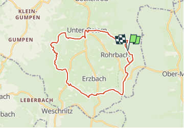
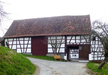
Trail On foot of 14.8 km to be discovered at Hesse, Odenwaldkreis, Reichelsheim (Odenwald). This trail is proposed by SityTrail - itinéraires balisés pédestres.
Trail created by Odenwaldklub.
Symbol: green 8 in a green circle green R in a break at the top of the circle
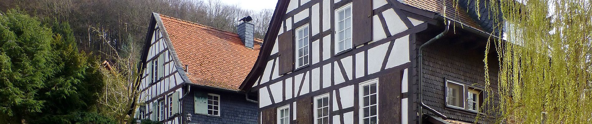
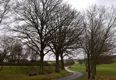
 - Rundwanderweg Reichelsheim 8: Panoramaweg zwischen Erz und Stein - Photo 1")
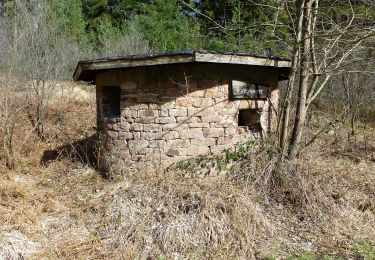
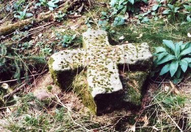
 - Rundwanderweg Reichelsheim 8: Panoramaweg zwischen Erz und Stein - Photo 2")
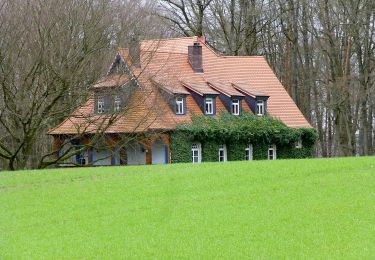
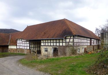
 - Rundwanderweg Reichelsheim 8: Panoramaweg zwischen Erz und Stein - Photo 3")
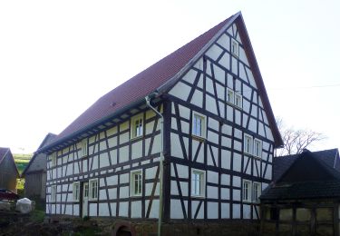
 - Rundwanderweg Reichelsheim 8: Panoramaweg zwischen Erz und Stein - Photo 4")
 - Rundwanderweg Reichelsheim 8: Panoramaweg zwischen Erz und Stein - Photo 5")
 - Rundwanderweg Reichelsheim 8: Panoramaweg zwischen Erz und Stein - Photo 6")
 - Rundwanderweg Reichelsheim 8: Panoramaweg zwischen Erz und Stein - Photo 7")
 - Rundwanderweg Reichelsheim 8: Panoramaweg zwischen Erz und Stein - Photo 8")
 - Rundwanderweg Reichelsheim 8: Panoramaweg zwischen Erz und Stein - Photo 9")
 - Rundwanderweg Reichelsheim 8: Panoramaweg zwischen Erz und Stein - Photo 10")
On foot
On foot

On foot
On foot

On foot
On foot
On foot
On foot
On foot