![](/images/other/stat-length.png)
![Trail On foot Aachen - Forsthausrundweg - Photo](https://media.geolcdn.com/t/1900/400/797caef6-ca7a-4981-b4fb-dfb0e5e1c0ab.jpeg&format=pjpeg&maxdim=2)
Forsthausrundweg
SityTrail - itinéraires balisés pédestres
Tous les sentiers balisés d’Europe GUIDE+
![Length](/images/other/stat-length.png)
Length
5.2 km
![Max alt](https://static1.geolcdn.com/siteimages/upload/files/1508320355ic_sort_altitude_max_24dp.png)
Max alt
197 m
![Uphill gradient](https://static1.geolcdn.com/siteimages/upload/files/1508320355ic_sort_den_pos_24dp.png)
Uphill gradient
48 m
![Km-Effort](/images/other/stat-length.png)
Km-Effort
5.8 km
![Min alt](https://static1.geolcdn.com/siteimages/upload/files/1508320355ic_sort_altitude_min_24dp.png)
Min alt
180 m
![Downhill gradient](https://static1.geolcdn.com/siteimages/upload/files/1508320355ic_sort_den_neg_24dp.png)
Downhill gradient
48 m
![Boucle](https://static1.geolcdn.com/siteimages/upload/files/16400158638029165_repeat_loop_refresh_sync_direction_icon.png)
Boucle
Yes
Signpost
Creation date :
2022-02-11 14:58:16.947
Updated on :
2022-02-11 14:58:16.947
![On foot](https://static1.geolcdn.com/sitytour/trail-icons/100.png)
1h19
Difficulty : Easy
![Scan this QR Code to open this trail in the SityTrail application](https://capi.geolives.com/qq0zvz2zws4bq2lad0pu/sitytour/trails/3093675/qr.png?size=200)
FREE GPS app for hiking
About
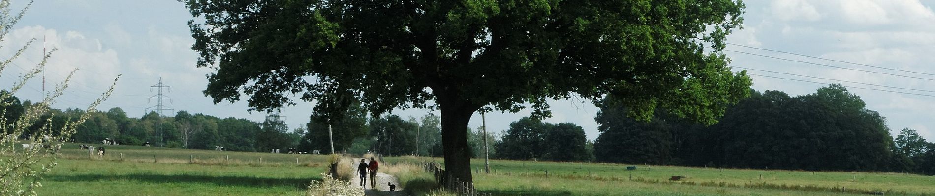
Trail On foot of 5.2 km to be discovered at North Rhine-Westphalia, Städteregion Aachen, Aachen. This trail is proposed by SityTrail - itinéraires balisés pédestres.
Description
Symbol: blauer Pfeil aufwärts
Positioning
Country:
Germany
Region :
North Rhine-Westphalia
Department/Province :
Städteregion Aachen
Municipality :
Aachen
Location:
Haaren
Start:(Dec)
Start:(UTM)
301003 ; 5630304 (32U) N.
Comments
Trails nearby
![Trail On foot Aachen - Rundweg um Eilendorf - Photo](https://media.geolcdn.com/t/375/260/87580b8e-9a60-47cb-a755-acb46765e988.jpeg&format=jpg&maxdim=2)
![On foot On foot](https://static1.geolcdn.com/sitytour/trail-icons/100.png)
Rundweg um Eilendorf
On foot
Easy
Aachen,
North Rhine-Westphalia,
Städteregion Aachen,
Germany
![](/images/other/stat-length.png)
12.6 km | 14.4 km-effort
3h 16min
![](https://static1.geolcdn.com/siteimages/upload/files/16400158638029165_repeat_loop_refresh_sync_direction_icon.png)
Yes
![Trail On foot Aachen - GrenzRouten: Verbindungsweg Aachen Hbf - Kornelimünster (](https://media.geolcdn.com/t/375/260/a06b960d-38ba-42d5-bfd5-7c754ca4689b.jpeg&format=jpg&maxdim=2)
![On foot On foot](https://static1.geolcdn.com/sitytour/trail-icons/100.png)
GrenzRouten: Verbindungsweg Aachen Hbf - Kornelimünster ("Münsterpfad", Zuweg...
On foot
Easy
Aachen,
North Rhine-Westphalia,
Städteregion Aachen,
Germany
![](/images/other/stat-length.png)
6.5 km | 7.7 km-effort
1h 45min
![](https://static1.geolcdn.com/siteimages/upload/files/16400158638029165_repeat_loop_refresh_sync_direction_icon.png)
No
![Trail On foot Stolberg - Stolberg Rundweg 1 - Photo](https://media.geolcdn.com/t/375/260/a577aa09-5d97-44fb-950f-181c01c4b6cd.jpeg&format=jpg&maxdim=2)
![On foot On foot](https://static1.geolcdn.com/sitytour/trail-icons/100.png)
Stolberg Rundweg 1
On foot
Easy
Stolberg,
North Rhine-Westphalia,
Städteregion Aachen,
Germany
![](/images/other/stat-length.png)
9 km | 11.4 km-effort
2h 35min
![](https://static1.geolcdn.com/siteimages/upload/files/16400158638029165_repeat_loop_refresh_sync_direction_icon.png)
No
![Trail On foot Aachen - IndeRoute - Photo](https://media.geolcdn.com/t/375/260/5b45f3d2-bacb-401d-82e5-6a813ae291fc.jpeg&format=jpg&maxdim=2)
![On foot On foot](https://static1.geolcdn.com/sitytour/trail-icons/100.png)
IndeRoute
On foot
Easy
Aachen,
North Rhine-Westphalia,
Städteregion Aachen,
Germany
![](/images/other/stat-length.png)
6.5 km | 8.2 km-effort
1h 52min
![](https://static1.geolcdn.com/siteimages/upload/files/16400158638029165_repeat_loop_refresh_sync_direction_icon.png)
No
![Trail On foot Würselen - Von Kaisersruh um den Kahlenberg - Photo](https://media.geolcdn.com/t/375/260/d5183f9d-11ca-4655-b06b-46f4da3d3584.jpeg&format=jpg&maxdim=2)
![On foot On foot](https://static1.geolcdn.com/sitytour/trail-icons/100.png)
Von Kaisersruh um den Kahlenberg
On foot
Easy
Würselen,
North Rhine-Westphalia,
Städteregion Aachen,
Germany
![](/images/other/stat-length.png)
3.1 km | 4 km-effort
54min
![](https://static1.geolcdn.com/siteimages/upload/files/16400158638029165_repeat_loop_refresh_sync_direction_icon.png)
Yes
![Trail On foot Würselen - Rundweg A4 - Rund um Adamsmühle und Wolfsfurth - Photo](https://media.geolcdn.com/t/375/260/55a120b6-efda-4f50-9d40-c261cf74f268.jpeg&format=jpg&maxdim=2)
![On foot On foot](https://static1.geolcdn.com/sitytour/trail-icons/100.png)
Rundweg A4 - Rund um Adamsmühle und Wolfsfurth
On foot
Easy
Würselen,
North Rhine-Westphalia,
Städteregion Aachen,
Germany
![](/images/other/stat-length.png)
7.3 km | 9.1 km-effort
2h 4min
![](https://static1.geolcdn.com/siteimages/upload/files/16400158638029165_repeat_loop_refresh_sync_direction_icon.png)
Yes
![Trail On foot Herzogenrath - Rundweg A3 - Durch die Morsbacher Heide - Photo](https://media.geolcdn.com/t/375/260/4d5be36d-1fa6-4346-867b-d65a9415acd6.jpeg&format=jpg&maxdim=2)
![On foot On foot](https://static1.geolcdn.com/sitytour/trail-icons/100.png)
Rundweg A3 - Durch die Morsbacher Heide
On foot
Easy
Herzogenrath,
North Rhine-Westphalia,
Städteregion Aachen,
Germany
![](/images/other/stat-length.png)
4.3 km | 5.6 km-effort
1h 16min
![](https://static1.geolcdn.com/siteimages/upload/files/16400158638029165_repeat_loop_refresh_sync_direction_icon.png)
Yes
![Trail On foot Aachen - [B3] Rundweg Freund/Vennbahn - Photo](https://media.geolcdn.com/t/375/260/7403d14c-636d-4fe2-9285-9b5d6ebe2687.jpeg&format=jpg&maxdim=2)
![On foot On foot](https://static1.geolcdn.com/sitytour/trail-icons/100.png)
[B3] Rundweg Freund/Vennbahn
On foot
Easy
Aachen,
North Rhine-Westphalia,
Städteregion Aachen,
Germany
![](/images/other/stat-length.png)
8.7 km | 10.5 km-effort
2h 22min
![](https://static1.geolcdn.com/siteimages/upload/files/16400158638029165_repeat_loop_refresh_sync_direction_icon.png)
Yes
![Trail On foot Aachen - [B2] Rundweg Brander Feld - Photo](https://media.geolcdn.com/t/375/260/e83256ca-dc38-4ff1-a908-0baf40b53d68.jpeg&format=jpg&maxdim=2)
![On foot On foot](https://static1.geolcdn.com/sitytour/trail-icons/100.png)
[B2] Rundweg Brander Feld
On foot
Easy
Aachen,
North Rhine-Westphalia,
Städteregion Aachen,
Germany
![](/images/other/stat-length.png)
7.1 km | 8 km-effort
1h 48min
![](https://static1.geolcdn.com/siteimages/upload/files/16400158638029165_repeat_loop_refresh_sync_direction_icon.png)
No