


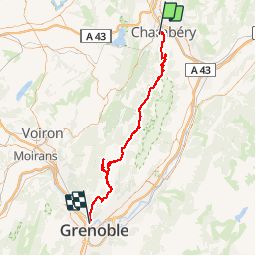


24 km | 34 km-effort


User


FREE GPS app for hiking
 SityTrail
IGN / Geographical institutes
SityTrail World
The world is yours!
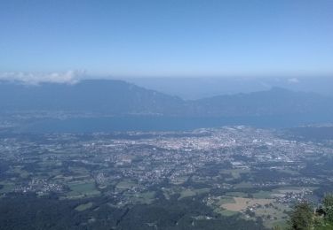
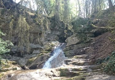
Trail Cycle of 78 km to be discovered at Auvergne-Rhône-Alpes, Savoy, Chambéry. This trail is proposed by bosses21.
Pas de la Fosse (Tunnel) - 822m
Col du Granier - 1134m
Col du Cucheron - 1139m
Col de Porte - 1326m
Chalets de Charmant Som - 1680m
Col de Palaquit - 1154m
Col de Vence - 782m
Col de Clémencières - 622m

Mountain bike

Mountain bike

Walking
Mountain bike
Walking
Hybrid bike
Walking
Road bike
Walking