Trail On foot Crinitzberg - Obercrinitzer Rundweg gem. Wegweisern - Photo

Obercrinitzer Rundweg gem. Wegweisern

Tous les sentiers balisés d’Europe PRO

© OpenStreetMap contributors
Length
Length
11.4 km
Max alt
Max alt
556 m
Uphill gradient
Uphill gradient
253 m
Km-Effort
Km-Effort  
14.9 km
Min alt
Min alt
408 m
Downhill gradient
Downhill gradient
289 m
Boucle
Boucle
No
Signpost
Signpost
Creation date :
2022-02-11 14:48:25.953
Updated on :
2022-02-11 14:48:25.953

(0 Reviews)

On foot
On foot
3h23
Difficulty : Easy

Scan this QR Code to open this trail in the SityTrail application

FREE GPS app for hiking

Logo SityTrail SityTrail

IGN / Geographical institutes

Download SityTrail from the App Store Download SityTrail from Google Play

Logo SityTrail SityTrail World

The world is yours!

Download SityTrail from the App Store Download SityTrail from Google Play Download SityTrail on Huawei AppGallery

About

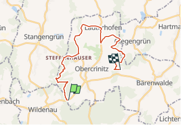
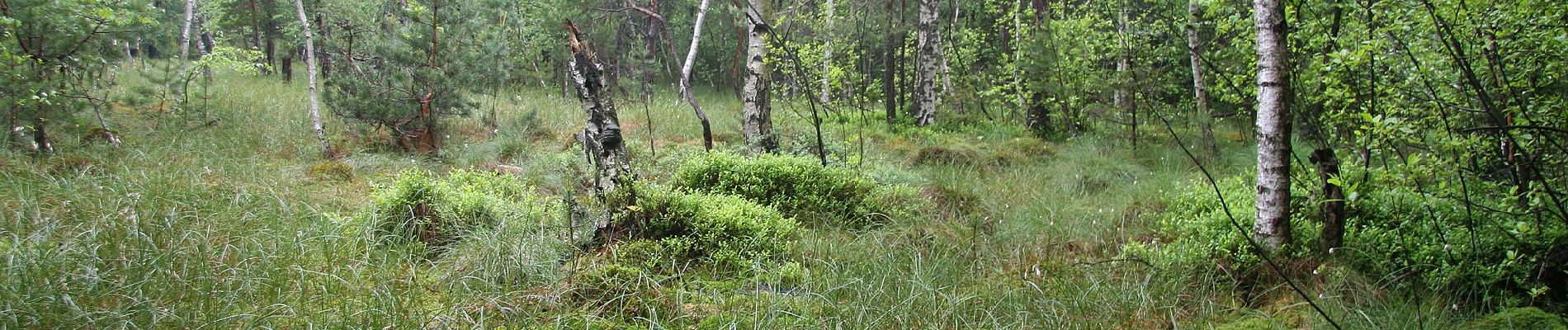
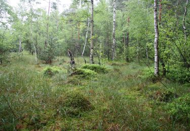
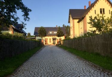
Trail On foot of 11.4 km to be discovered at Saxony, Zwickau, Crinitzberg. This trail is proposed by SityTrail - itinéraires balisés pédestres.

Description

Von Gemeinde offenbar nur einige Wegweiser versetzt > viel mehr Asphalt. Wanderwegzeichen noch Verlauf gem. Karten

Symbol: Horizontaler gelber Strich auf weißem Grund

Photos

Positioning

Country:
Germany
Region :
Saxony
Department/Province :
Zwickau
Municipality :
Crinitzberg
Location:
Obercrinitz
Start:(UTM)
320768 ; 5603744 (33U) N.

Trails nearby

Trail On foot Crinitzberg - grün Bärenwalde-Steinberg-Stangengrün - Photo
On foot
PRO

On foot

Easy
Crinitzberg, Saxony, Zwickau, Germany
12.3 km | 15.9 km-effort
3h 36min
No
Trail On foot Crinitzberg - Obercrinitzer Rundweg Wandermap - Photo
On foot
PRO

On foot

Easy
Crinitzberg, Saxony, Zwickau, Germany
6.9 km | 9.3 km-effort
2h 6min
No
Trail On foot Crinitzberg - Obercrinitzer Rundweg Variante2 - Photo
On foot
PRO

On foot

Easy
Crinitzberg, Saxony, Zwickau, Germany
11.4 km | 14.9 km-effort
3h 23min
No
Trail On foot Crinitzberg - Bärenwalder Rundweg - Photo
On foot
PRO

On foot

Easy
Crinitzberg, Saxony, Zwickau, Germany
10.4 km | 13.7 km-effort
3h 6min
Yes
Trail On foot Rodewisch - Ww Lenkmühle - Auerbach - Falkenstein. - Photo
On foot
PRO

On foot

Easy
Rodewisch, Saxony, Vogtlandkreis, Germany
8.8 km | 11.3 km-effort
2h 34min
No
Trail On foot Rodewisch - Ww Rodewisch - Rebesbrunn - Anschluß rote Markierung Richtung Steinberg - Photo
On foot
PRO

On foot

Easy
Rodewisch, Saxony, Vogtlandkreis, Germany
5.6 km | 7.8 km-effort
1h 46min
No
Trail On foot Rodewisch - Ww Rodewisch - Rützengrün - Vogelsgrün - Photo
On foot
PRO

On foot

Easy
Rodewisch, Saxony, Vogtlandkreis, Germany
5.6 km | 8.5 km-effort
1h 56min
No
Trail On foot Rodewisch - VPW blau - Photo
On foot
PRO

On foot

Easy
Rodewisch, Saxony, Vogtlandkreis, Germany
10.8 km | 13.8 km-effort
3h 8min
No


Close
My subscriptions