


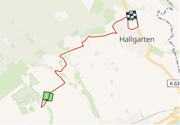

11.2 km | 15.7 km-effort

Tous les sentiers balisés d’Europe GUIDE+


FREE GPS app for hiking
 SityTrail
IGN / Geographical institutes
SityTrail World
The world is yours!
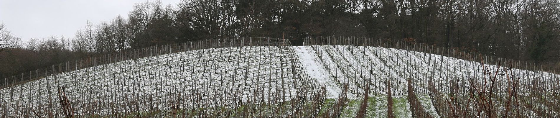
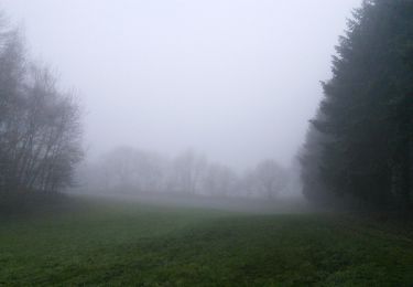
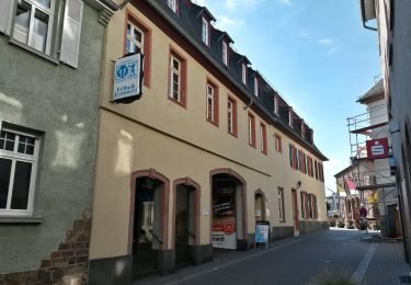
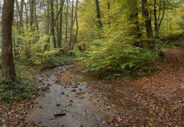
Trail On foot of 4.9 km to be discovered at Hesse, Rheingau-Taunus-Kreis, Oestrich-Winkel. This trail is proposed by SityTrail - itinéraires balisés pédestres.
Trail created by Verkehrsamt Oestrich-Winkel.
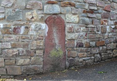
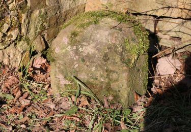
Symbol: Wandernde Weinflasche (Weinflöte) mit Bündel auf rundem, orangem Schild, umschrieben mit "QUER FLÖTENWEG"


On foot
On foot

On foot
On foot

On foot
On foot
On foot
On foot
On foot