


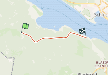

6.1 km | 9.6 km-effort

Tous les sentiers balisés d’Europe GUIDE+


FREE GPS app for hiking
 SityTrail
IGN / Geographical institutes
SityTrail World
The world is yours!
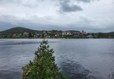
Trail On foot of 3.1 km to be discovered at Baden-Württemberg, Landkreis Breisgau-Hochschwarzwald, Schluchsee. This trail is proposed by SityTrail - itinéraires balisés pédestres.
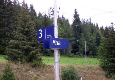
Ehemalige Krummensäge - Kohlhütte - fixme
Symbol: blauer Diamant (waagrecht) mit senkrechtem Strich (weiss)


On foot
On foot
On foot

On foot

On foot
On foot
Walking
Walking

On foot