


9.9 km | 13.7 km-effort

Tous les sentiers balisés d’Europe GUIDE+


FREE GPS app for hiking
 SityTrail
IGN / Geographical institutes
SityTrail World
The world is yours!
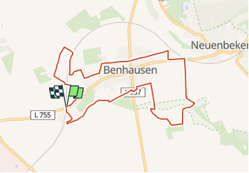
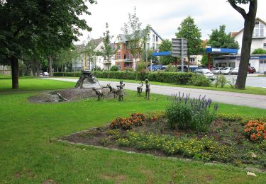
Trail On foot of 9.1 km to be discovered at North Rhine-Westphalia, Kreis Paderborn, Paderborn. This trail is proposed by SityTrail - itinéraires balisés pédestres.
Symbol: two hiking people with norcic walking sticks on white background


On foot

On foot
On foot
On foot
On foot
On foot
On foot
On foot
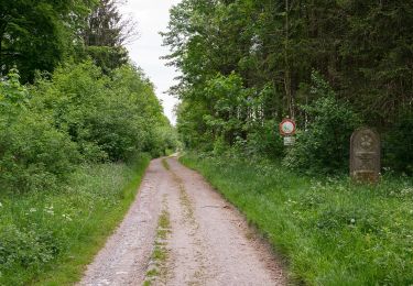
![Trail On foot Bad Lippspringe - Rundwanderweg Ellenberg [Hindahls Kreuz] - Photo](https://media.geolcdn.com/t/375/260/b5d0d3df-b18a-49ce-847b-09c83599e24d.jpeg&format=jpg&maxdim=2)
On foot