


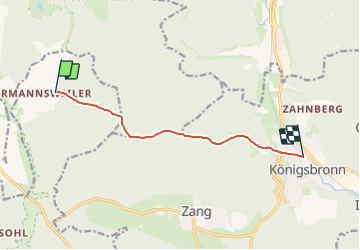

5.7 km | 7.5 km-effort

Tous les sentiers balisés d’Europe GUIDE+


FREE GPS app for hiking
 SityTrail
IGN / Geographical institutes
SityTrail World
The world is yours!
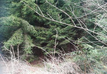
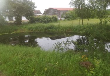
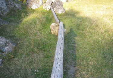
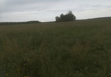
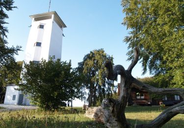
Trail On foot of 7.1 km to be discovered at Baden-Württemberg, Landkreis Reutlingen, Gomadingen. This trail is proposed by SityTrail - itinéraires balisés pédestres.
Trail created by Schwäbischer Albverein.
SAV innerer Zugangsweg zum HW1


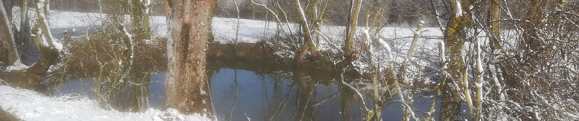
On foot
On foot
On foot
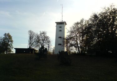
On foot

On foot
On foot
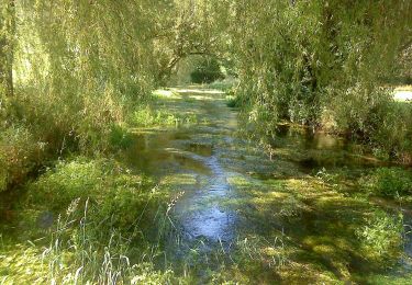
On foot
On foot

On foot