![](/images/other/stat-length.png)
![Trail On foot Wilthen - Pumphutsteig - Photo](https://media.geolcdn.com/t/1900/400/ext.pjpeg?maxdim=2&url=https%3A%2F%2Fstatic1.geolcdn.com%2Fsiteimages%2Fupload%2Ffiles%2F1545311037marcheuse_200dpi.jpg)
Pumphutsteig
SityTrail - itinéraires balisés pédestres
Tous les sentiers balisés d’Europe GUIDE+
![Length](/images/other/stat-length.png)
Length
16.8 km
![Max alt](https://static1.geolcdn.com/siteimages/upload/files/1508320355ic_sort_altitude_max_24dp.png)
Max alt
507 m
![Uphill gradient](https://static1.geolcdn.com/siteimages/upload/files/1508320355ic_sort_den_pos_24dp.png)
Uphill gradient
619 m
![Km-Effort](/images/other/stat-length.png)
Km-Effort
25 km
![Min alt](https://static1.geolcdn.com/siteimages/upload/files/1508320355ic_sort_altitude_min_24dp.png)
Min alt
283 m
![Downhill gradient](https://static1.geolcdn.com/siteimages/upload/files/1508320355ic_sort_den_neg_24dp.png)
Downhill gradient
618 m
![Boucle](https://static1.geolcdn.com/siteimages/upload/files/16400158638029165_repeat_loop_refresh_sync_direction_icon.png)
Boucle
Yes
Signpost
Creation date :
2022-02-11 14:29:11.517
Updated on :
2022-02-11 14:29:11.517
![On foot](https://static1.geolcdn.com/sitytour/trail-icons/100.png)
5h41
Difficulty : Medium
![Scan this QR Code to open this trail in the SityTrail application](https://capi.geolives.com/qq0zvz2zws4bq2lad0pu/sitytour/trails/3092677/qr.png?size=200)
FREE GPS app for hiking
About
Trail On foot of 16.8 km to be discovered at Saxony, Bautzen, Wilthen. This trail is proposed by SityTrail - itinéraires balisés pédestres.
Description
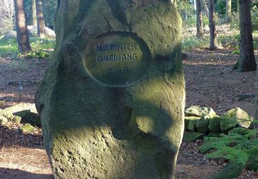
Symbol: Pumphutfigur auf weißem Grund
Website: http://www.mein-wilthen.de/Pumphutsteig/
Positioning
Country:
Germany
Region :
Saxony
Department/Province :
Bautzen
Municipality :
Wilthen
Location:
Unknown
Start:(Dec)
Start:(UTM)
457180 ; 5660494 (33U) N.
Comments
Trails nearby
![Trail On foot Wilthen - Pumphut-Steig - Photo](https://media.geolcdn.com/t/375/260/aaea2476-aca9-4722-a497-133c75cd18dc.jpeg&format=jpg&maxdim=2)
![On foot On foot](https://static1.geolcdn.com/sitytour/trail-icons/100.png)
![Trail On foot Steinigtwolmsdorf - Großer Rundwanderweg - Photo](https://media.geolcdn.com/t/375/260/ext.jpg?maxdim=2&url=https%3A%2F%2Fstatic1.geolcdn.com%2Fsiteimages%2Fupload%2Ffiles%2F1545311037marcheuse_200dpi.jpg)
![On foot On foot](https://static1.geolcdn.com/sitytour/trail-icons/100.png)
Großer Rundwanderweg
On foot
Medium
Steinigtwolmsdorf,
Saxony,
Bautzen,
Germany
![](/images/other/stat-length.png)
21 km | 31 km-effort
6h 59min
![](https://static1.geolcdn.com/siteimages/upload/files/16400158638029165_repeat_loop_refresh_sync_direction_icon.png)
Yes