


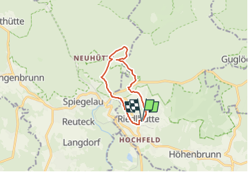

6.6 km | 9.7 km-effort

Tous les sentiers balisés d’Europe GUIDE+


FREE GPS app for hiking
 SityTrail
IGN / Geographical institutes
SityTrail World
The world is yours!
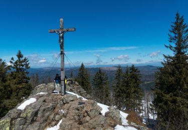
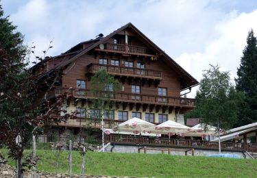
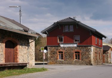
Trail On foot of 8.3 km to be discovered at Bavaria, Landkreis Freyung-Grafenau, Sankt Oswald-Riedlhütte. This trail is proposed by SityTrail - itinéraires balisés pédestres.
Trail created by Nationalpark Bayerischer Wald.
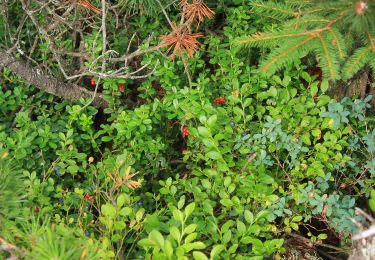
Symbol: Tiersymbol (Fuchs) in schwarz auf gelbem quadratischem Grund


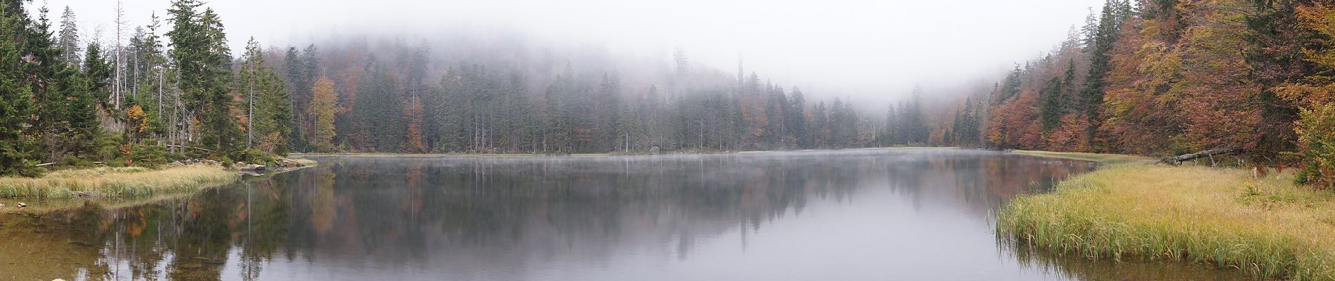
On foot

On foot
On foot
On foot
On foot
On foot

On foot
On foot

On foot