


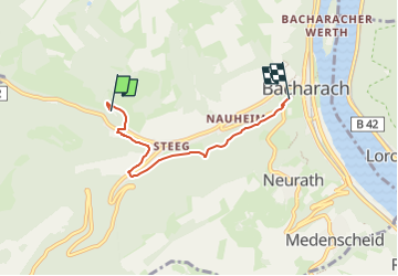

9.4 km | 13.9 km-effort

Tous les sentiers balisés d’Europe GUIDE+


FREE GPS app for hiking
 SityTrail
IGN / Geographical institutes
SityTrail World
The world is yours!
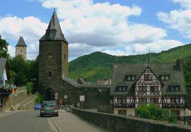
Trail On foot of 3.7 km to be discovered at Rhineland-Palatinate, Landkreis Mainz-Bingen, Bacharach. This trail is proposed by SityTrail - itinéraires balisés pédestres.
Präsentiert die touristischen Angebote zwischen Rüdesheim und Bingen im Süden und dem Beginn des Siebengebirges im Norden.
Website: https://www.rheinburgenweg.com/


On foot

On foot
On foot
On foot
On foot
On foot

On foot
On foot
On foot