


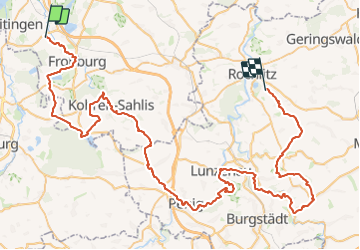

21 km | 24 km-effort

Tous les sentiers balisés d’Europe GUIDE+


FREE GPS app for hiking
 SityTrail
IGN / Geographical institutes
SityTrail World
The world is yours!
Trail On foot of 86 km to be discovered at Saxony, Landkreis Leipzig, Borna. This trail is proposed by SityTrail - itinéraires balisés pédestres.
Trail created by Kirche im Land des Roten Porphyr e. V..
Symbol: Fensterrose
Website: https://www.via-porphyria.de/


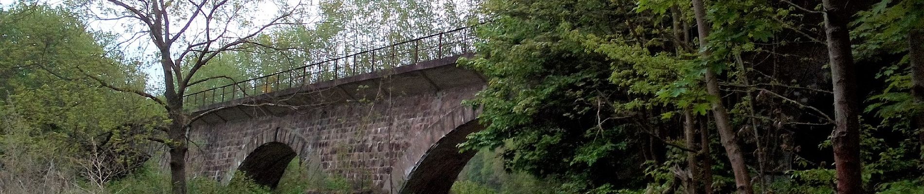
On foot
On foot