


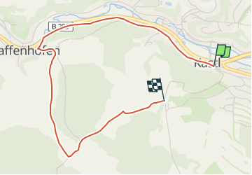

19.4 km | 26 km-effort

Tous les sentiers balisés d’Europe GUIDE+


FREE GPS app for hiking
 SityTrail
IGN / Geographical institutes
SityTrail World
The world is yours!
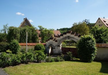
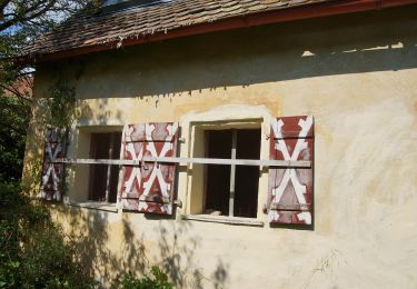
Trail On foot of 4 km to be discovered at Bavaria, Landkreis Amberg-Sulzbach, Kastl. This trail is proposed by SityTrail - itinéraires balisés pédestres.
Trail created by Gebietsgemeinschaft Bayerischer Jura.
geprüft (April 2104, by cycling_zno)
Symbol: Gelbe Schleife auf blauem Grund


On foot
On foot
On foot
On foot

On foot
On foot
On foot