


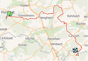

29 km | 33 km-effort


Tous les sentiers balisés d’Europe GUIDE+


FREE GPS app for hiking
 SityTrail
IGN / Geographical institutes
SityTrail World
The world is yours!
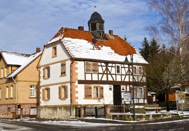
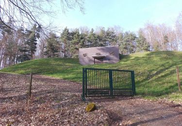
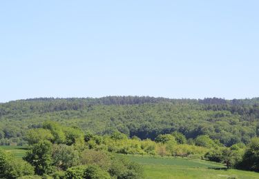
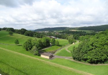
Trail On foot of 32 km to be discovered at Hesse, Wetteraukreis, Niddatal. This trail is proposed by SityTrail - itinéraires balisés pédestres.
Trail created by Vogelsberger Höhenclub.
Symbol: white_minus on black
Website: http://vhc-gesamtverein.de/wp-content/uploads/2015/03/Prospekt_Wanderweg1.pdf


On foot
On foot
On foot
On foot
On foot
On foot
On foot

On foot
On foot