


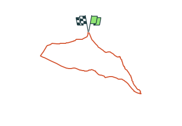

5.2 km | 6.1 km-effort


Tous les sentiers balisés d’Europe GUIDE+


FREE GPS app for hiking
 SityTrail
IGN / Geographical institutes
SityTrail World
The world is yours!
Trail On foot of 6.4 km to be discovered at Bavaria, Landkreis Schwandorf, Nabburg. This trail is proposed by SityTrail - itinéraires balisés pédestres.
Trail created by Obepfälzer Waldverein.
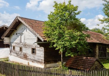
the sign is not in reality its nearly the same


On foot

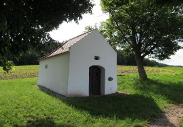
On foot

On foot
On foot
On foot
On foot
On foot

On foot
On foot