


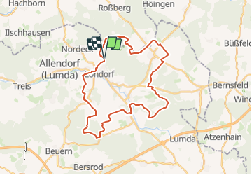

10.6 km | 12.9 km-effort

Tous les sentiers balisés d’Europe GUIDE+


FREE GPS app for hiking
 SityTrail
IGN / Geographical institutes
SityTrail World
The world is yours!
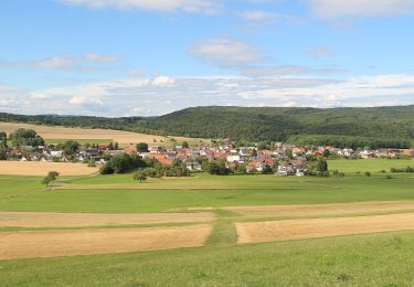
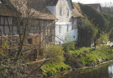
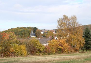
Trail On foot of 31 km to be discovered at Hesse, Landkreis Gießen, Rabenau. This trail is proposed by SityTrail - itinéraires balisés pédestres.
Trail created by Oberhessischer Gebirgsverein.
Symbol: Rotes "R" auf weißem Grund


On foot

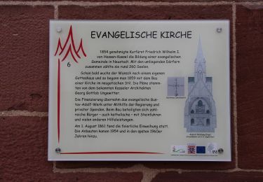
On foot
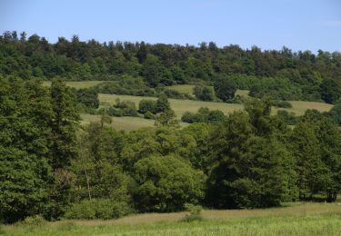
On foot
On foot

On foot

On foot

On foot
On foot
On foot