


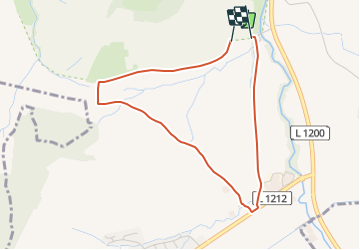

4 km | 5.5 km-effort


Tous les sentiers balisés d’Europe GUIDE+


FREE GPS app for hiking
 SityTrail
IGN / Geographical institutes
SityTrail World
The world is yours!
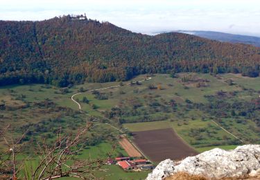
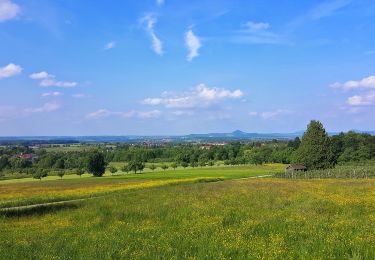
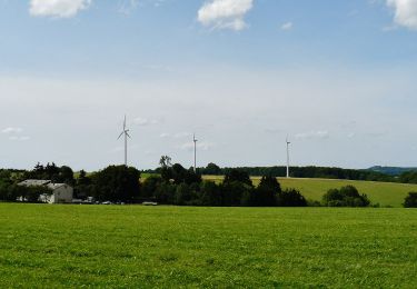
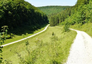
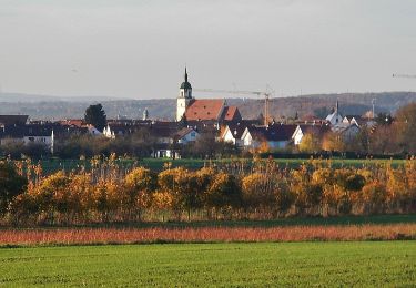
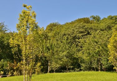
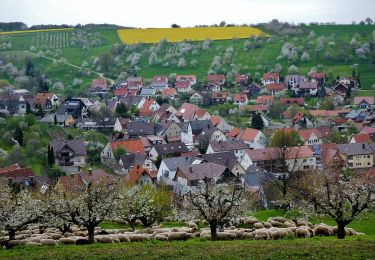
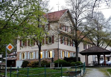
Trail On foot of 3.5 km to be discovered at Baden-Württemberg, Landkreis Esslingen, Weilheim an der Teck. This trail is proposed by SityTrail - itinéraires balisés pédestres.
Trail created by Stadt Weilheim an der Teck.
Symbol: quadratische blaue Fläche mit inneren weißen Kreis in dem wiederum die blaue Zahl 61 steht


On foot
On foot
On foot
On foot
On foot
On foot
On foot
On foot

On foot