


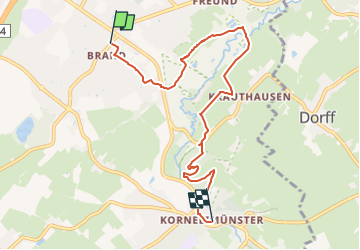

15.5 km | 19.8 km-effort


Tous les sentiers balisés d’Europe GUIDE+


FREE GPS app for hiking
 SityTrail
IGN / Geographical institutes
SityTrail World
The world is yours!
Trail On foot of 6.5 km to be discovered at North Rhine-Westphalia, Städteregion Aachen, Aachen. This trail is proposed by SityTrail - itinéraires balisés pédestres.
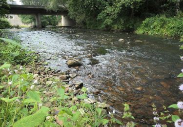
Symbol: weisses Rechteck mit runder blau/grüner Flusslandschaft


Walking

Walking
On foot
On foot
On foot

On foot

On foot
On foot
On foot